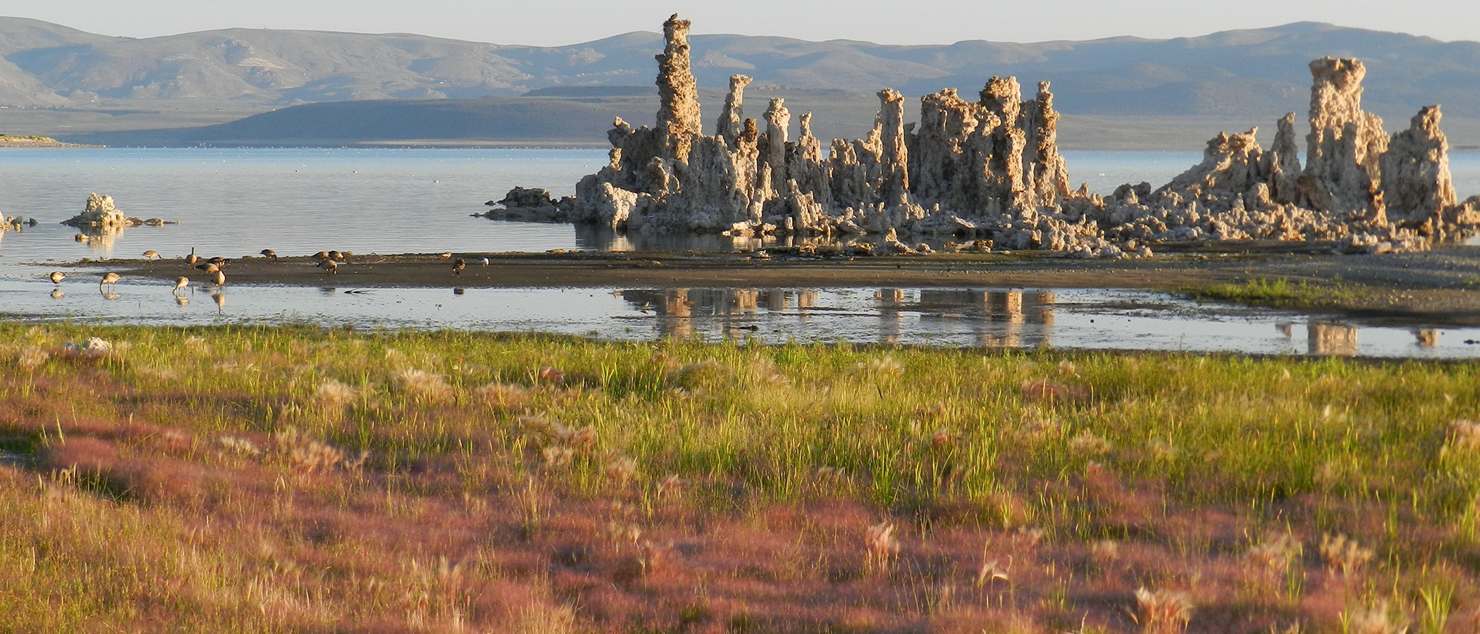
In a previous post, I reported that Cain Ranch, a location east of the Sierra that is representative of precipitation on Mono Lake, last year had its third-driest calendar year (after 1947 and 2007) since record keeping began in 1932. Based on reporting from the rest of the state, however, we expected portions of the Mono Basin in the Sierra to be the driest on record. The upper Mono Basin watershed in the Sierra Nevada is where most of the snow falls, generating most of the runoff to Mono Lake via its tributary streams. Since the beginning of the new year, more precipitation stations are reporting totals, and for the Sierra, it looks like the driest calendar year in the records going back to 1925—but just barely.
| Calendary Year Precipitation (in) | |||
| 1947 | 2007 | 2013 | |
| Cain Ranch | 2.73 | 3.03 | 3.46 |
| Lee Vining | no data | 6.79 | 5.04 |
| Gem Lake | 5.82 | no data* | 5.76 |
| Ellery Lake | 6.44 | no data* | 6.18 |
| *2007 was wetter than 2013 at Lee Vining, Mammoth Lakes, and Bodie | |||
1947 was the driest calendar year in the records—but no longer. At Ellery Lake, 2013 was drier than 1947 by about a quarter of an inch. At Gem Lake, 2013 beat 1947 by only 0.06 inches of precipitation. The monthly graph below shows that while the 1947 and 2013 totals were essentially the same at Gem Lake, the pattern was quite different. In 2013 there was a lot more winter precipitation and summer rain, while in 1947 there was more precipitation in the months of April and October.
The interesting thing about 1947 is that after the Mono Basin extension of the Los Angeles Aqueduct began operating in 1941, it was the first year the creeks were shut off for more than a single winter season. The early 1940s were wet, and DWP didn’t take all the water all the time, and Mono Lake actually rose slightly. The late 1940s were dry, and that is when DWP completely diverted the streams, essentially shutting them off below the aqueduct, and when Mono Lake began its long, slow decline. The graph below shows Mono Lake’s seasonal pattern in dry years like these, however, today the lake level is 35 vertical feet lower than it was in 1947. DWP diverted all of Rush Creek and Lee Vining Creek flows in November 1947 and didn’t allow water to flow past the dams until 1952 (they were mostly dry from 1947 until permanent rewatering in 1983 and 1986, respectively).
Now, we know how dry 1947 was in the headwaters of the Mono Basin. It was like 2013. We know it in a way we didn’t know before because we hadn’t experienced a year like it since … until now.
