
If you’re planning to submit images to the 2017 Mono Lake Calendar, now is the time! The deadline of Sunday, November 1, 2015 is coming up fast. Find the submission guidelines and forms here.
We encourage you to submit high-quality photographs that you feel best capture the spirit of the Mono Basin’s geological and ecological wonders. To be selected for inclusion in the 2017 Mono Lake Calendar, images must depict subjects within the watershed boundary of Mono Lake. Possible subjects include, but are not limited to: plants, geologic features, streams, mountains, weather, fall colors, wildlife, and aerials. Images of sand tufa will not be considered due to the degradation affecting these features. In publishing the calendar we strive to promote and celebrate Mono Lake’s natural beauty; therefore, images that are obviously filtered or manipulated will not be considered.
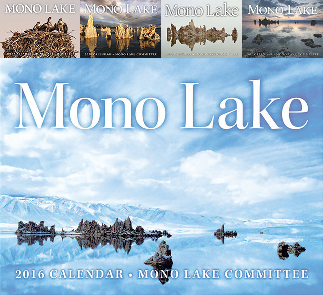
With the help of talented photographers, the Mono Lake Committee has created and published the Mono Lake Calendar each year since 1986. The calendar celebrates the awe-inspiring landscape and ecological wonders of Mono Lake, and calendar sales help to fund our efforts to protect and restore the lake and its greater watershed. The Mono Lake Calendar has been widely applauded for its artistic rigor.
We look forward to receiving and judging the originality, expression, and quality of your unique photographs! If you have questions regarding submissions, please contact Communications Director Arya Degenhardt.
I previously asked what the area of the Mono Lake Basin is. I will be sending my photos to you soon.
Hi Mari —
I had replied to you in the other post about the calendar. Here’s what I said about the watershed area: “The watershed boundaries of the Mono Basin are roughly Conway Summit and the crest of the Bodie Hills to the north; the crest of the Sierra Nevada to the west; Deadman Summit to the south; and Sagehen Summit and the Anchorite Mountains to the east. The watershed includes the June Lake Loop and the Tioga Pass area, but does not include Bodie.” It also does not include any part of Yosemite.
Also, you had asked for clarification about photos of tufa: “Tufa photos are very much encouraged — we don’t accept photos of SAND tufa, which is a different structure than regular tufa.”
I hope that helps, and I can’t wait to see your submission!