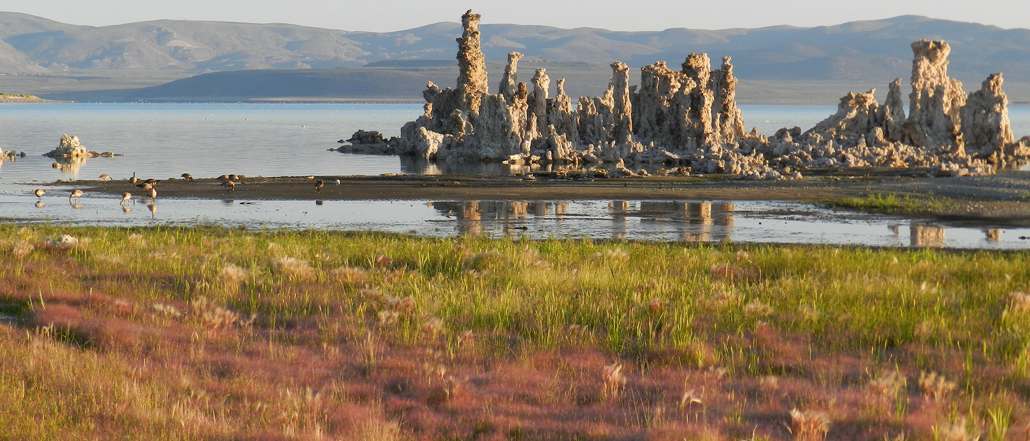
This morning dawned frosty and clear on a rising Mono Lake. Today’s elevation is 6382.19 feet above sea level. This is about a tenth of a foot higher than it was a month ago, when it reached its lowest point for the year.
This seems to answer the question posed today in an email, “Do you really think it’s reached it’s lowest point of the winter and that it won’t continue to drop again till we get significant snow?” But a drop this month isn’t impossible…
Despite the lack of snow at Mono Lake’s elevation on the basin floor, the high elevation snowpack is considerable–about 8 inches of water content is sitting on the Gem Pass snow pillow at 10,750′. This is about 1/4 of the winter average! Most of that snow fell on November 1st and 2nd. November precipitation in Lee Vining was 1.35 inches–almost all rain–and about half of that fell on November 1st and 2nd. The November average is 1.24″, so we are starting off about average.
And while November was relatively wet, it was balmy between storms. Two days ago the high temperature was in the 60s–a near-record temperature for December. This could cause evaporation to outpace inflow and result in a dropping lake level. But right now the highs are in the 40s and the lows are in the 20s–good seasonal temperatures that should limit evaporation. But we’ll have to wait and see when the next storms come. A drop in lake level still isn’t out of the question.
Lisa Cutting and I spent the last two days at the semi-annual LADWP Mono Basin restoration meeting, held at the Water Board’s offices in foggy Sacramento. There was some discussion about Grant Lake Reservoir. LADWP’s Charlotte Rodriguez in Bishop was on the speakerphone–she said yesterday’s elevation of the reservoir was 10,500 acre-feet of storage (7,088′). The last time it was this low was 1991. SCE (Southern California Edison) is upgrading its data communications system and is releasing lower than expected flows into the reservoir–currently only 17 cfs (cubic feet per second). This inflow is being passed down to Lower Rush Creek.
Grant Lake Reservoir will be lowered to 5,700 acre-feet of storage (7,088′) which will leave a 5-foot buffer above the outlet pipe. This level is so low that unless we have a wet winter, the reservoir will almost certainly be at very low levels next summer, which will have worrisome implications for Rush Creek releases, for temperatures, and for reservoir recreation.
At this time, the short-term outlook is dry, the long-term outlook for the winter is still about average, and there is the possibility of a pattern like last year with an early end to winter. Nearby Lake Tahoe is also dry according to the State Climatologist: “Lake Tahoe is nearing its natural rim. At an elevation of
6,223 feet, water stops flowing into the Truckee River. Estimates are it would take a winter 3-4 times the average snowpack to bring the Lake above the natural rim.”
So we are at a point where a tip toward wetness would dramatically improve conditions around the state, and a tip towards dryness will mean a lot of hard decisions for resource managers and poor conditions for aquatic habitats next year.
