May 2010 was almost as cold as May 1998. The average temperature this May was 46.6 degrees F, making it the second-coldest May in Lee Vining since weather records started in 1988. It also set a new record low, 20 degrees, 1 degree colder than the previous May record in 2000. The average minimum temperature of 33.9 also set a new record, beating 1998’s 34.16.
Eight daily records were set last month, with seven of them broken the week of the 23rd through the 29th. Four days set new records for the lowest maximum temperature and four set new records for the lowest minimum temperature ever recorded in Lee Vining on those dates.
Last month had median precipitation of 0.3 inches for May, however the cold weather caused snowfall to come in 3rd after 1991 and 1994, with 2.8 inches this year.
April’s weather was also remarkable, with 14.8 inches of snow the second most snowfall recorded after 15″ in 2001, and 1.77″ of precipitation the second wettest after 2.29″ in 2006. April’s cold wasn’t record-setting, however it came in with the second-coldest average temperature after 1999 and the fourth-coldest maximum and minimum temperature averages.
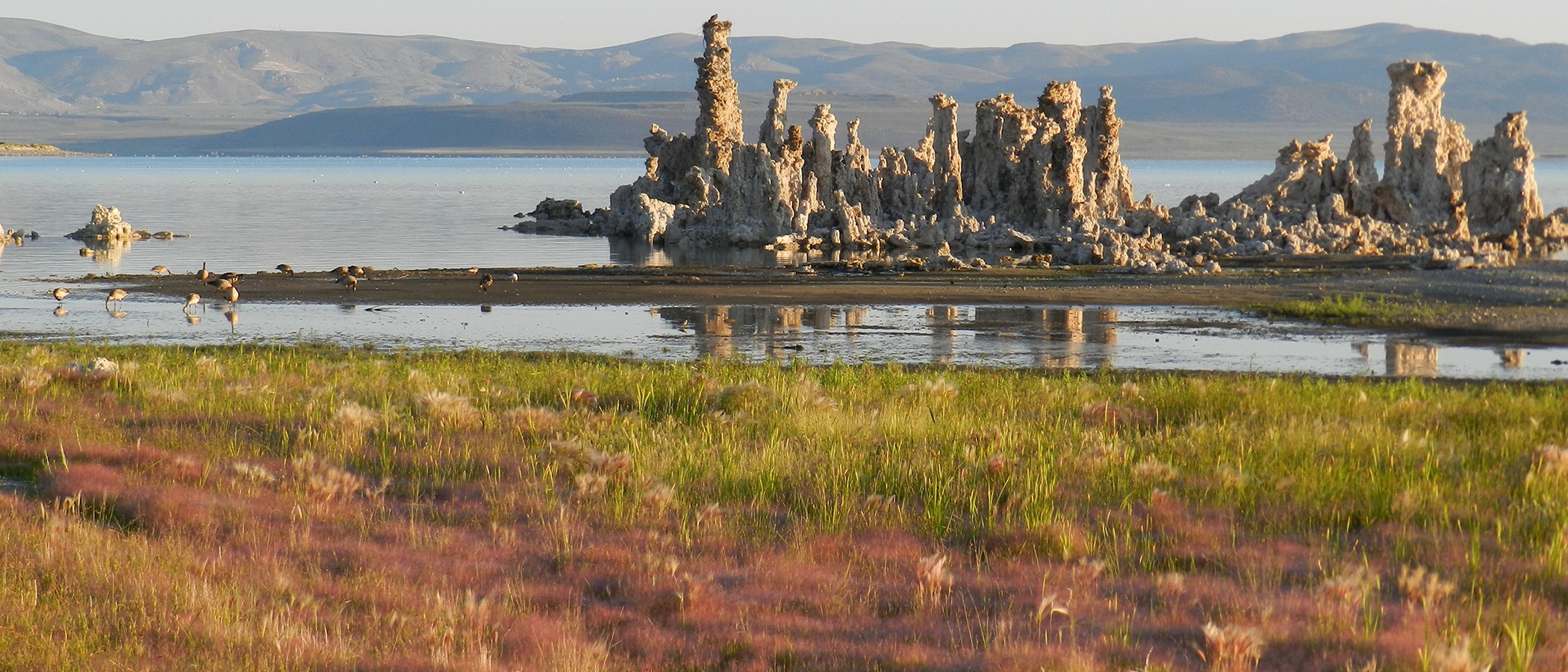
The cold spring weather has delayed the brine shrimp hatch in Mono Lake, leaving the lake green with ungrazed algae and the California Gulls looking at very low nesting success this year due to the lack of brine shrimp for food.
The combination of a cold and wet April and a cold May in an otherwise fairly average snowfall year has resulted in a huge snowpack for early June. The April 1st runoff forecast was 89% of average, and by May 1st that forecast increased to 104% of average. There is considerable variability within the Mono Basin–if Rush Creek runoff (104% forecast on April 1) also increases 15 percentage points from April’s wetness, that watershed could get 119% of average runoff this year. Not much of that snow melted in May, leaving a lot of runoff poised for June and July. The delay in runoff also caused Mono Lake to drop a tenth of a foot in May to 6381.9 feet above sea level–the very dry year of 2007 was the only other year with a May drop in lake level since 1992.
The wildflower bloom has also been delayed, as well as the no-see-um hatch. June will have May’s wildflowers and more, as well as the pesky no-see-ums on warm and calm days. Among the plants blossoming right now are desert peach, bitterbrush, paintbrush, wallflower, arrowleaf balsamroot, and lupine.
There were also several bad dust storms on Mono Lake’s east shore in May, including three days in a row of exceedances of the federal particulate standard: May 25, 26, and 27th. The Great Basin Unified Air Pollution Control District reported that this makes 15 exceedances so far this year.

Average May wind speed was 5.3 mph, the highest for ANY month since our records began in 1996, except for April 2003 when the average wind speed was 5.4 mph. The high wind speed last month was 56 mph, the highest for May since 56 mph in 1999 and 57 mph in 1996. Interestingly, the average monthly windspeed has been increasing steadily since January.
You can see the April and May weather logs from our automated internet weather station here on the Mono Basin Clearinghouse Website. While this isn’t the official NOAA data, it contains wind speed, and the rest of the data is very similar to the official numbers from the NOAA Cooperative Observer weather station a few feet away.
