
Grant Lake Reservoir has been spilling since last Wednesday, May 31, for the first time since 2011. Wish you could see it for yourself? You can! Here’s a timelapse of the spill in action:
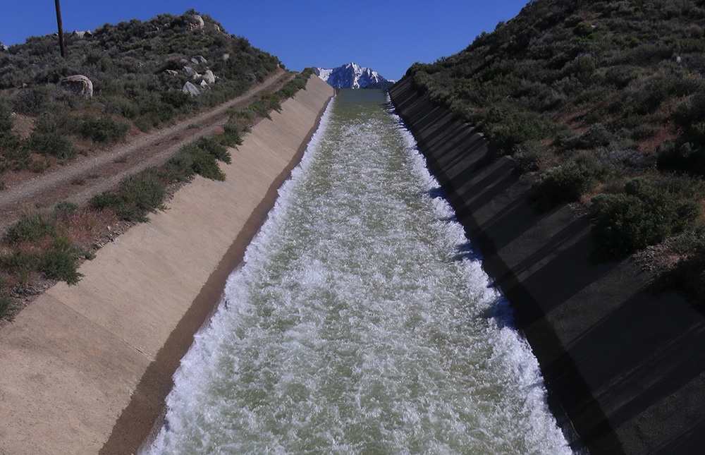
After five years of drought it has been a joy to see Grant re-filling this spring, culminating with the spillway’s torrent of water cascading down the concrete ramp to join Rush Creek.
Water reaches Rush Creek from Grant in two ways. The Los Angeles Department of Water & Power releases water from Grant to Rush via a return ditch, which has a maximum capacity of 380 cubic feet per second (cfs) of water. In most years, this amount of water is adequate to meet the downstream Stream Restoration Flow (SRF) requirements set by the State Water Board for Rush Creek.
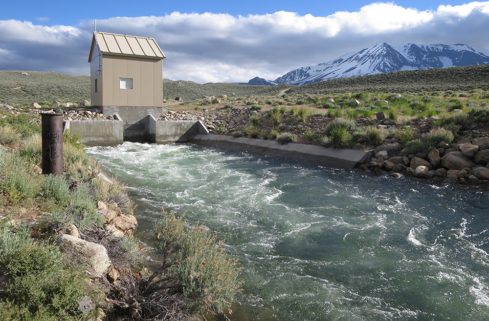
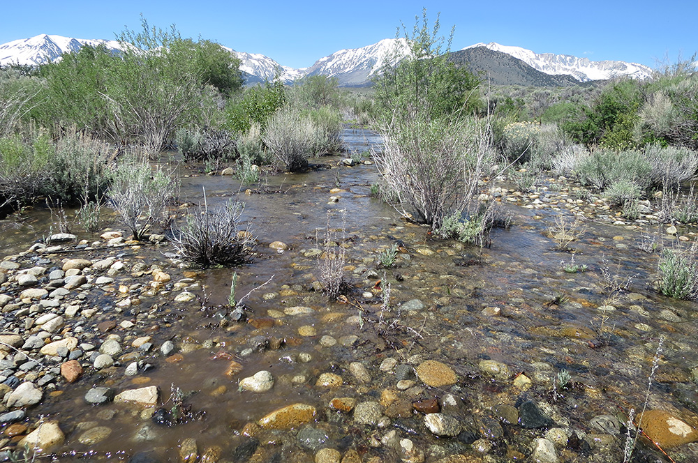
Water flowing over and down the spillway from a “full” Grant Lake Reservoir is the other way water reaches Rush Creek; this usually happens in wet years like 2006 and 2011—and now this year. Combined volumes of water from the return ditch and spillway can be large enough to achieve major stream restoration processes for Rush Creek, which are driven by SRFs required in wet or “Extreme-wet” years like this one.
Since Tuesday, the outflow from Grant was over 600 cfs. Below the confluences of Parker Creek and Walker Creek in an area known as the Rush Creek bottomlands, lower Rush Creek had more than 800 cfs of water surging toward Mono Lake on Wednesday night and Thursday morning. This is a glimpse into the exciting future for the stream—once the new Grant outlet is built, 750 cfs below the dam will be required in Extreme-wet years (this week’s peak fell just short of this flow below the dam). With high flows like these, floodplains get flooded, seeds and sediment get transported, woody debris gets moved around, bends are carved, sand bars are deposited, and channels shift position. All these restoration processes are happening now for Rush Creek, some for the first time since 1998, the last time SRFs exceeding 600 cfs were observed in the bottomlands.
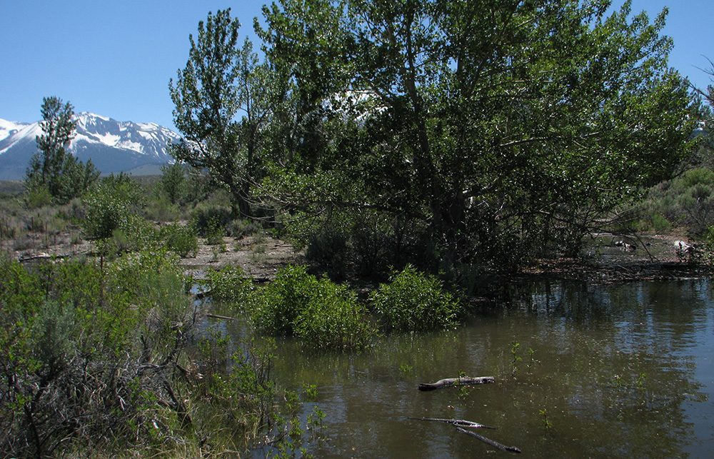
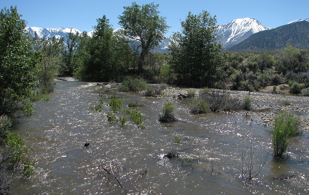
The weather cooled dramatically on Thursday, so snow is melting slower up high and not quite as much water is making its way from upper Rush Creek into Grant and out the spillway. But Grant is likely to spill until August, and with the tremendous snowpack, warm weather could still trigger a higher peak. After the water flows down Rush Creek, re-shaping the riparian ecosystem along the way, it ends up in Mono Lake, helping the lake to rise. What a season for Rush Creek and Mono Lake!
Check back during this runoff season for more stream restoration updates here on the Mono-logue—you can also find them all by clicking on the “2017 runoff” tag, below.