This post was written by Erik Lyon, 2013 Project Specialist.
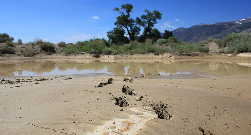
Turn off Highway 395 a few miles north of Mono Lake, and drive a few minutes down a dusty dirt road. You’ll pass a small pond on your left, opaque with mud. You probably wouldn’t notice it. That is, unless you are a geologist.

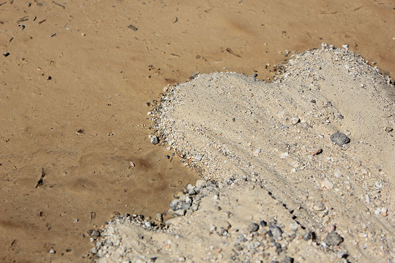
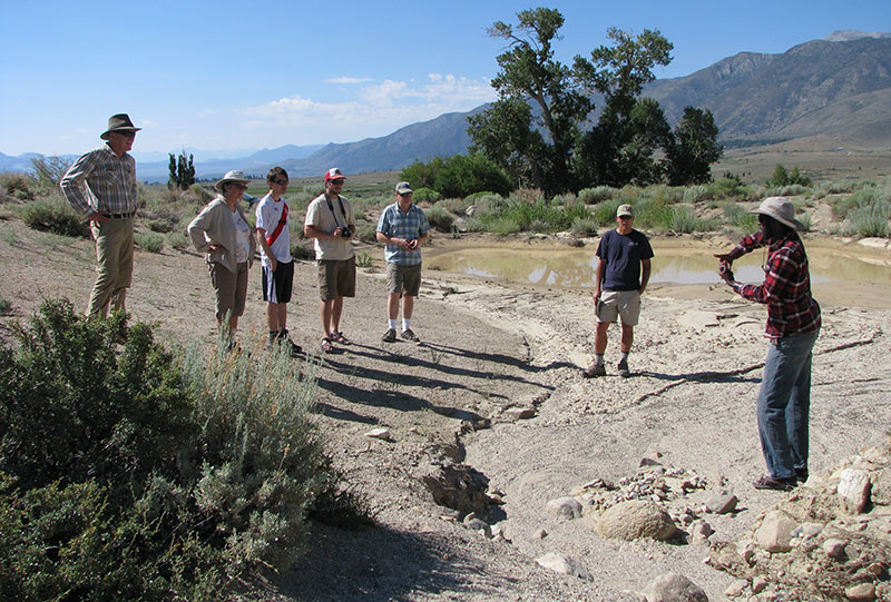
“Everything going on at Mono Lake is going on in this pond,” says Guleed Ali, a geology graduate student from Columbia University. He shows a handful of coworkers and me winding channels where sediment was eroded, and the sprawling delta where it was deposited. At Mono Lake, the Rush and Lee Vining creek deltas have been forming and changing for millennia, and now measure over a mile from edge to edge. From the air, they look like giant shark bites out of the southwestern edge of Mono Lake. The delta Guleed points out at the pond is only a few feet wide, and was deposited in a single day.

The difference in scale between pond and lake is hard even to imagine, but the rules that govern them are the same. High flows pick up sediment, but it drops out in the still water. If you walked the Lee Vining Creek Trail in 2011, you may remember your hike being cut short, as the runoff from a huge snow year washed away a section of the trail. Those sediments eventually ended up at the edge of Mono Lake, where they helped grow Lee Vining Creek’s ever-changing delta. Back at the pond, the monsoon-like storm of July 4th brought enough rain to wash silts and sands into the pond, creating its own minute delta.
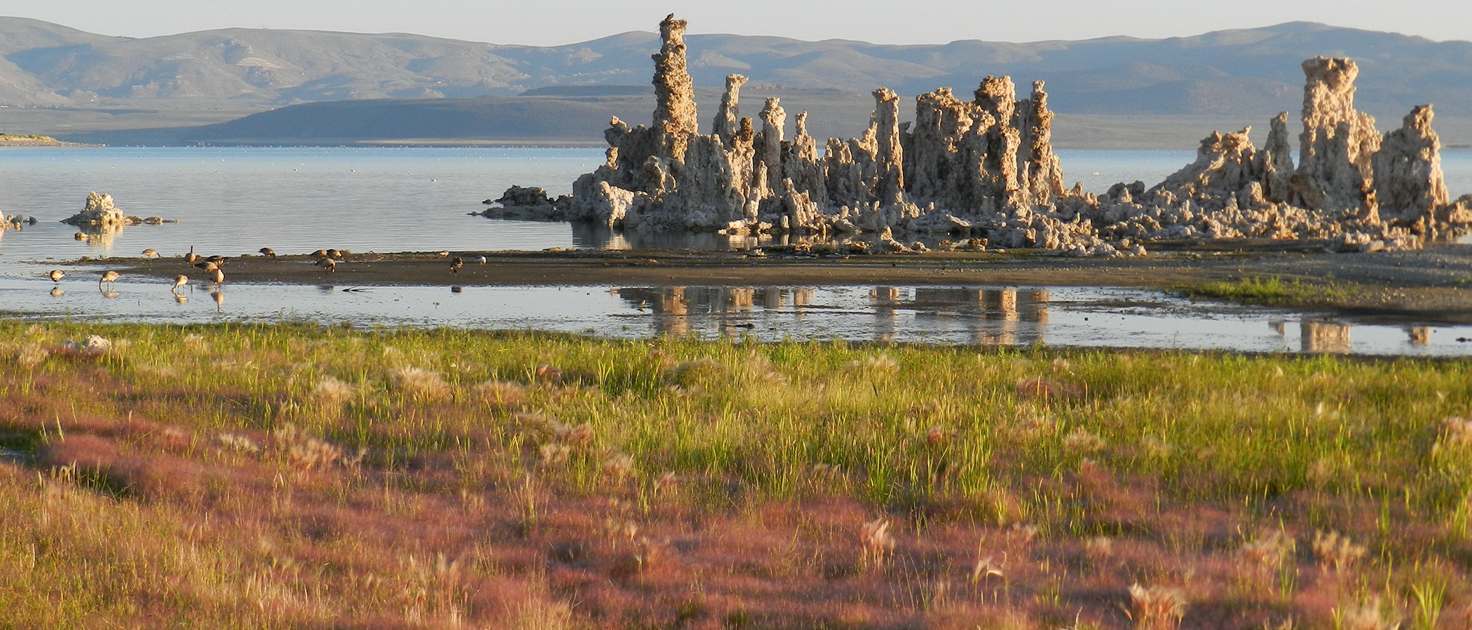
The similarities do not end there. You can see concentric rings eroded into the sand as the pond evaporated and shrank. They are not so different from the ledges that sit high and dry in the Mono Basin, created when the lake reached its high point during the last ice age. You can see geologic features like sediment sorting, beaches and ripples in the sand, all of which you can find in Mono Lake.

What struck me more than any one of these fascinating parallels was Guleed’s ability to read the earth beneath his feet, and to see similarities in such seemingly dissimilar places. It was a good reminder that learning about the earth—whether we choose rocks, birds, trees, or whatever else—helps us to see it with greater clarity. I encourage you to pick up a guidebook, find a natural history tour, or grab a pair of binoculars, and try to see the world around you just a little more clearly.

[…] There's a lot going on in that mud puddle, observes the Mono-Logue blog: Turn off the 395 onto a dirt road and you'll pass an unremarkable mud puddle that likely won't catch your attention. However, there happens to be a lot going on: ” … “Everything going on at Mono Lake is going on in this pond,” says Guleed Ali, a geology graduate student from Columbia University. He shows a handful of coworkers and me winding channels where sediment was eroded, and the sprawling delta where it was deposited. At Mono Lake, the Rush and Lee Vining creek deltas have been forming and changing for millennia, and now measure over a mile from edge to edge. From the air, they look like giant shark bites out of the southwestern edge of Mono Lake. The delta Guleed points out at the pond is only a few feet wide, and was deposited in a single day. … “ Read more from the Mono-Logue blog here: Mono Lake lessons from a muddy pond […]