Healing the damage of excessive water diversions
The Mono Lake Committee works to restore the ecological functions of Mono Lake, its tributary streams and waterfowl habitat, and the watershed as a whole. Our restoration programs work to heal the damage caused by 50 years of excessive water diversions by the Los Angeles Department of Water & Power (DWP).
As a result of historic litigation, DWP is required to fulfill its restoration obligations in the Mono Basin as ordered by the State Water Resources Control Board. The Committee plays a critical role as a watchdog, monitor, and science support to transform the restoration requirements into measurable restoration progress.
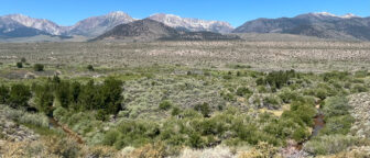
Restoring Mono Lake
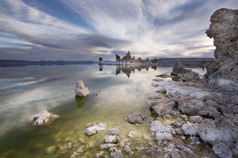
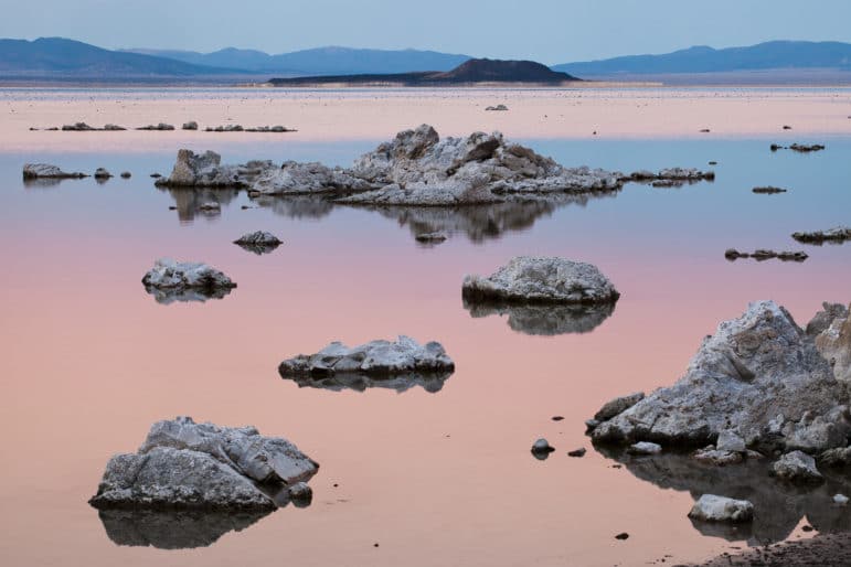
The foremost measure of Mono Lake restoration progress is raising the lake level to 6392 feet above sea level. 6392 was determined by the State Water Board to sufficiently lower salinity for healthy ecosystem function, maintain California Gulls island nesting habitat, lower dangerous dust emissions, rejuvenate wetland habitat, and more. The Mono Lake Committee supports the State Water Board-mandated lake level rise by measuring the lake level, tracking year-round water delivery and diversions, reviewing limnology data, and modeling the complex water systems that forecast this critical lake recovery metric.
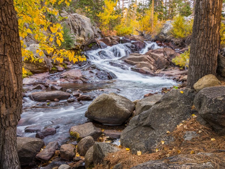
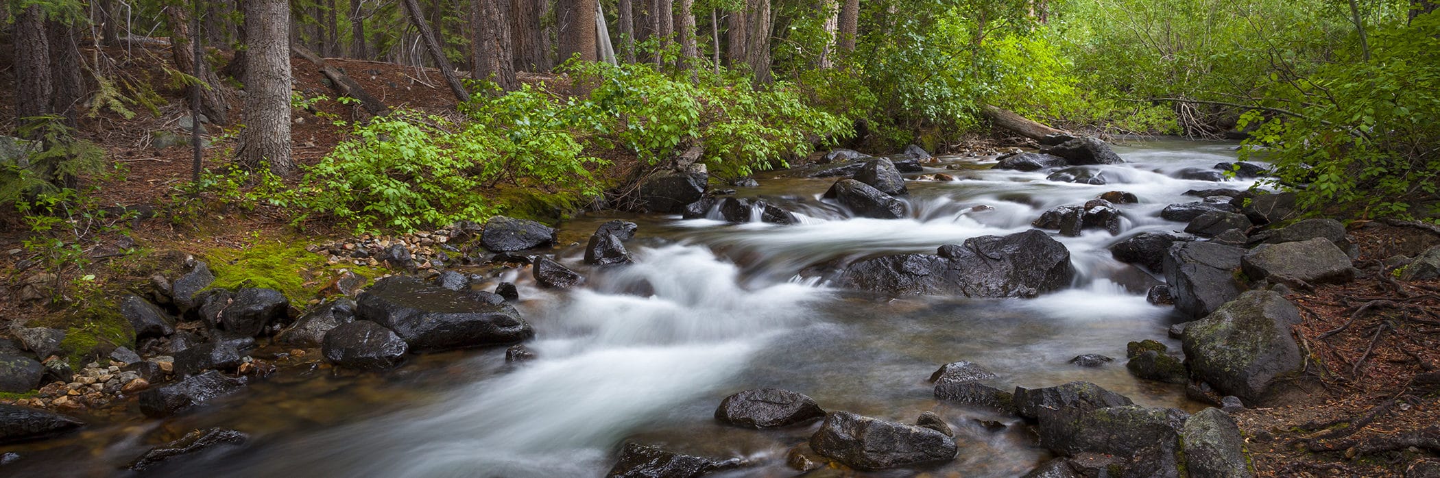
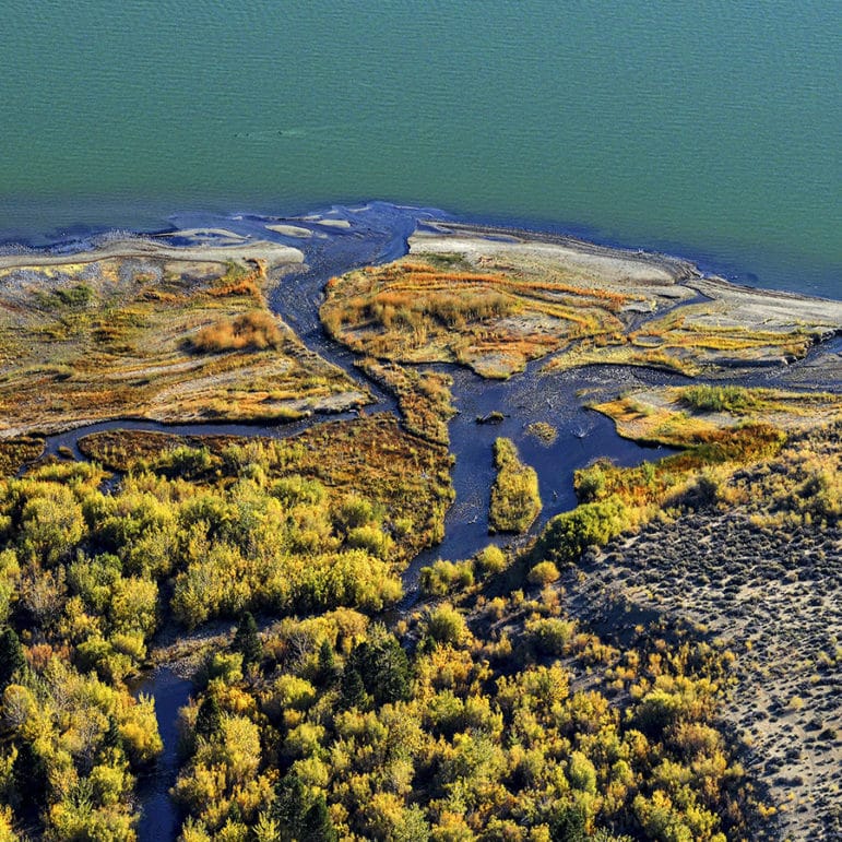
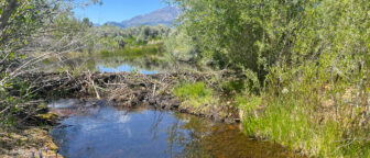
Restoring streams
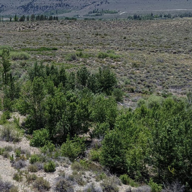
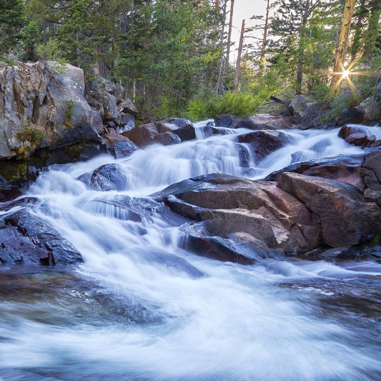
Excessive water diversions from Mono Lake’s five tributary streams nearly decimated miles of lush streamside forests and Blue Ribbon trout fisheries. Mandated by the State Water Board, and guided by State Water Board-appointed Stream Scientists, stream restoration in the Mono Basin works to reestablish natural ecological processes and habitat conditions in order to support healthy trout, bird, and wildlife populations. The Mono Lake Committee works with the Stream Scientists and DWP to monitor streamflows and water temperatures, track groundwater levels, and support on-the-ground restoration activities, including planting trees and pulling invasive weeds.
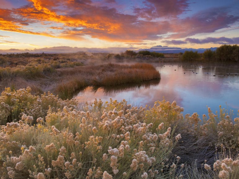
Restoring waterfowl habitat
With the steep and rapid decline in the lake level, lake-fringing wetlands, freshwater deltas, and brackish lagoons—habitat for birds and waterfowl—was lost. The most important action to restore waterfowl habitat is to raise the level of Mono Lake.
Additional waterfowl habitat restoration actions include rewatering side channels in Rush Creek to revive ponded water habitat, developing and maintaining the DeChambeau and County ponds, and monitoring waterfowl population numbers and habitat.
What We Do: Restoration
Related Posts
Rush Creek’s required flows still delayed
Mono Basin snow survey results
A summer on the streams
Get Involved
Take action
Sign up to speak up on Mono Lake’s behalf.
See live views of Mono Lake
Live webcam views of Mono Lake, Lee Vining, and Mill Creek.
Support restoration at Mono Lake
Members make the Mono Lake Committee’s work possible.
Top photo courtesy of David Gubernick. | Shoreline and Pirate Tufa, Margrit Schwarz | Pink Negit Sunset, Robb Hirsch | Lee Vining Creek Fall, Richard Erb | DeChambeau Ponds, Ed Callaert