On my first visit to Rush Creek in May of this year, with my field supplies of a backpack, clipboard, and GPS, I followed Restoration Field Technician Robbie Di Paolo through dense willow thickets and freezing streams on the inaugural tour of what would become my stomping grounds for the season. As the Field Monitoring & Reporting Intern, it has been my responsibility to collect data on the streams, specifically Lee Vining Creek and Rush Creek, as they ebbed and flowed (literally) throughout the runoff season.
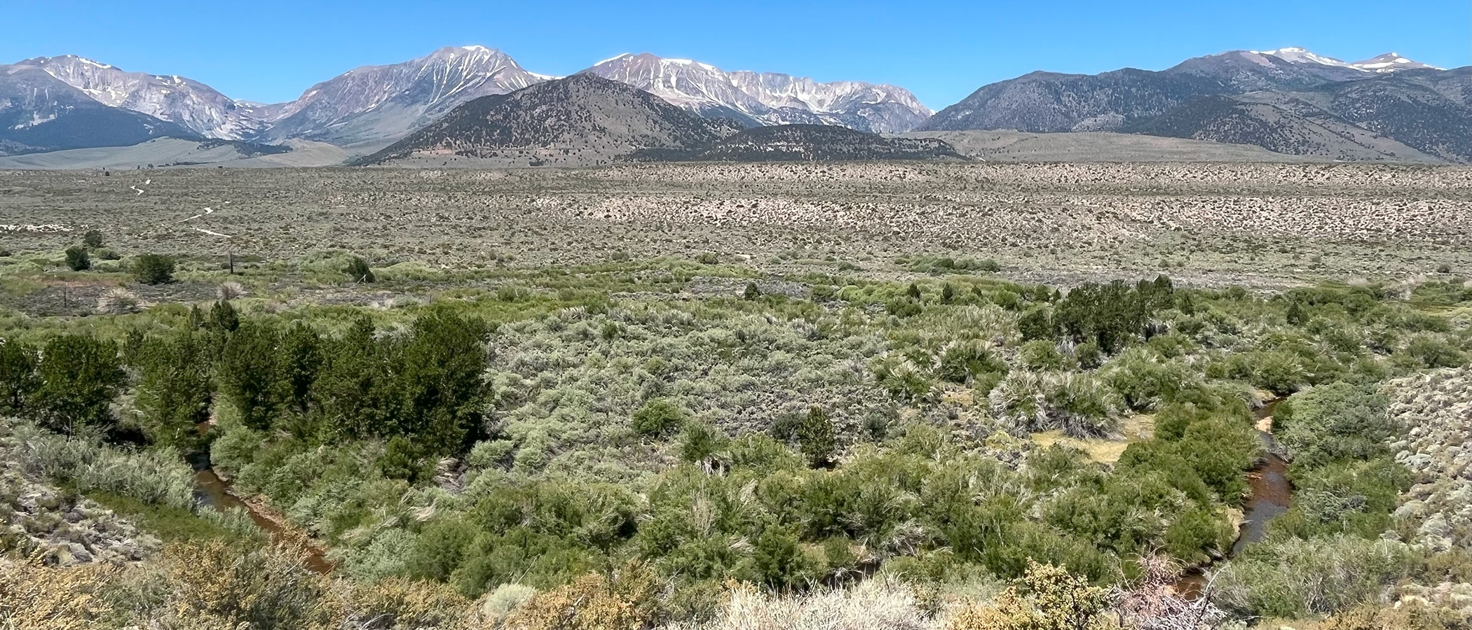
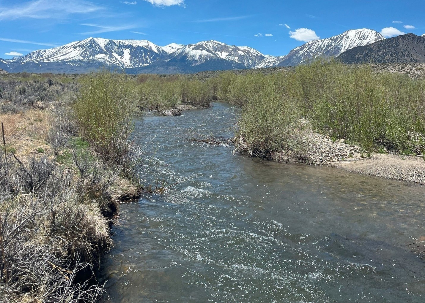
Mono Lake’s tributaries are intimately tied to the Mono Lake ecosystem and understanding them is crucial to the success of ongoing restoration efforts. As Robbie gave me an in-depth, multi-decade overview of Rush Creek’s geomorphology and restoration progress, I desperately tried to take notes and mark GPS coordinates and not trip over my two-sizes-too-big waders. The creeks were just starting to rise as runoff ramped up with the increasing seasonal temperatures, but the mountains in the background were still clad in snow. In just a few short weeks, a good portion of that snow would join with what was now flowing beneath my feet to eventually make its way to Mono Lake. And it occurred to me that I was going to experience firsthand how stream ecosystem flows are starting to restore these creeks.
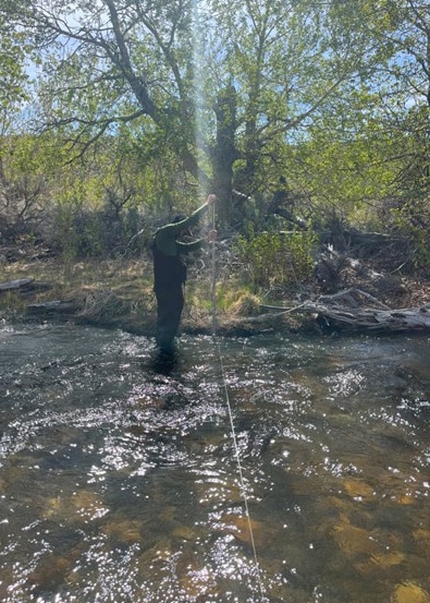
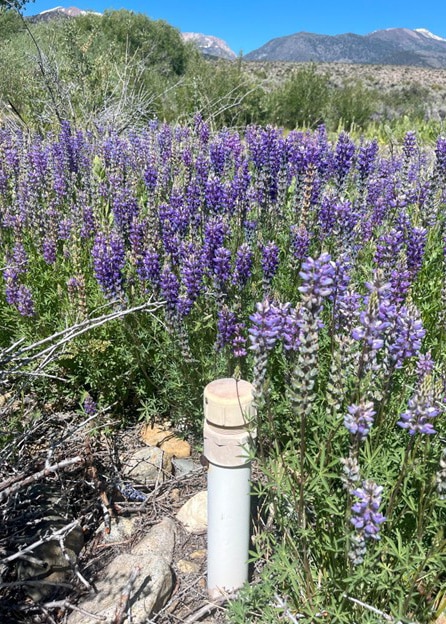
Each week, I ventured out to Rush and Lee Vining Creeks to monitor their flow, water temperatures, and groundwater depths. After a few weeks of wandering and several branches to the head from keeping my eyes locked on my map, I began to find my way around. The pride I felt the first time I was able to locate all of the Rush Creek piezometers (groundwater measurement tubes) without looking at the map was real—like the first time you drive to the grocery store in your new town without using your GPS. I noted the places that had previously been bone dry but were now full of water and the new wildflowers that had bloomed that week and felt lucky that, for this short season, I would know this little stretch of land better than anyone in the world and would get to be a part of protecting it.
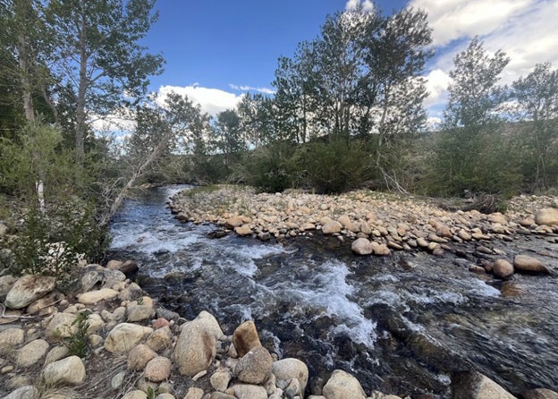
By the middle of June, flows were reaching their season high in the Rush Creek bottomlands of 200 cubic feet per second (cfs) as snowmelt peaked and Grant Lake Reservoir began spilling. Many side channels had filled, low places between channels were becoming proper wetlands, and water crossings were approached with much more caution. In just a short time, I had seen this landscape transform into what the restoration folks of the 1990s could have only dreamed of. I was witnessing the hydrograph of Lee Vining and Rush Creeks in the form of changed land and rushing streams, no longer just numbers and theories. I knew this would not last long, but for this week, Rush Creek was finally living up to its name. I took advantage of it with a quick dip in the creek, smiling to myself and knowing that just a couple of miles away people were blowing past on Highway 395 with not a clue that the best swimming hole on Rush Creek was right here in front of me.
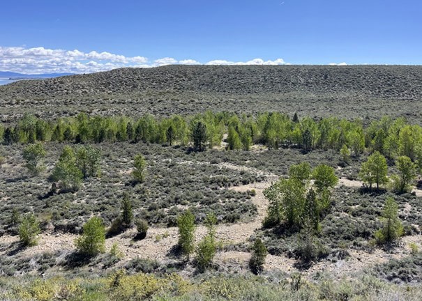
July arrived and with it came a decline in flow as snowmelt hit a plateau, with Los Angeles Department of Water & Power (DWP) gauges reading as low as 30 cfs and 70 cfs on Lee Vining Creek and Rush Creek, respectively. I measured a noticeable drop in the water table and saw many side channels begin to dry out. In the mud that was left behind, I followed my old footprints to each piezometer, right alongside the tracks of deer and mountain lions. The riparian vegetation was benefitting from the increased moisture of June and the prolonged daylight of July and was growing rapidly, making bushwhacking increasingly difficult. The blooming wild rose didn’t help either, and each day I left the field with a few more scratches and bruises. August came and went, with more decline in flow, and before I knew it, it was September. As my season came to a close, priorities shifted and my weekly visits to the creeks became less frequent. The rest of my time in the field saw little to no change in piezometer readings or location of flow, only the gradual yellowing of willows and the withering away of wildflowers.
Here at the Mono Lake Committee, we champion the “Mono Lake story” and passionately and eloquently detail every rise and fall of it on canoe tours and South Tufa walks. But this story would not be one of success without these streams. The foresight, and more importantly unyielding hope, that the scientists of the 1996 Stream Channel Restoration Plan had to imagine a transformed riparian habitat and lay out the path to achieve it is just as much a part of the Mono Lake story as the lake levels and dates we all know by heart. Today, parts of Rush Creek and Lee Vining Creek are flourishing as restoration continues, with some areas once again displaying recovering riparian vegetation, wildlife, and hydrology. And as the seasons change and the creeks naturally wane, I will look forward to the return of this oasis in the desert that I once had the privilege of calling “my office.”
Top photo by Sarah Lampley.
A lovely story. Nothing like a Sierra stream to restore the soul. Thank you, Sarah, and everyone else involved in monitoring and nurturing these precious resources.