
Tioga Pass is closed, but there is a lot activity in the Mono Basin as the peak runoff season is soon to arrive. Streamflows will soon reach levels not seen in decades as 206% of average runoff—the May 1 forecast—comes rushing down in the Mono Basin.
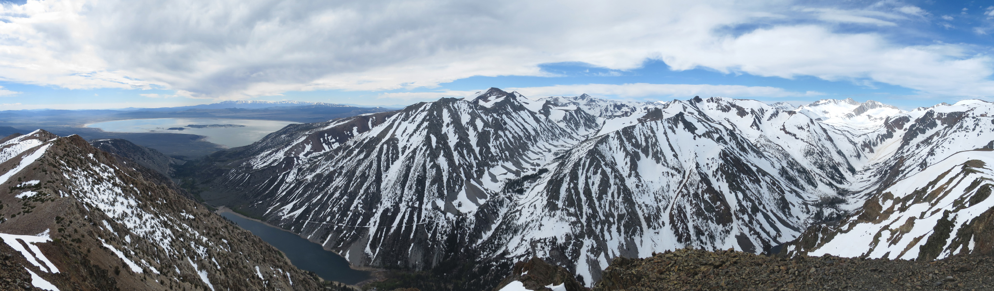
This much water is an inspiration to witness, especially after five years of brutal drought conditions. Water is moving down some drainages and steep canyons that rarely, if ever, transport water during the runoff season. Creeks are already flowing at dangerously high levels and attempting to cross Mono Basin streams along fallen logs or other unusual crossing sites during peak flows could be a life or death decision—use extreme caution.
This is a benchmark year, and there is a lot of work for Mono Lake Committee staff documenting stream flows, coordinating critical information with Los Angeles Department of Water & Power, Southern California Edison, stream scientists, and other authorities to make sure that everyone can anticipate the challenges and changes ahead for Mono Lake and its tributary streams. Stay tuned—we plan on sharing as much information and as many images as possible here on the Mono-logue, on Facebook, Twitter, and Instagram. We have not forgotten the drought years, but forgive us if we temporarily revel in amnesia.