
Grant Lake Reservoir began spilling at 4:30pm on Wednesday, June 7, for the first time since 2019! After several years of very low levels Grant re-filled quickly this spring as record amounts of snow started to melt, culminating with the spillway’s torrent of water cascading down the concrete ramp to join Rush Creek.
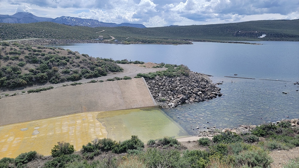
Water makes it into Rush Creek from Grant in two ways. The Los Angeles Department of Water & Power releases water from Grant to Rush via a return ditch, which has a maximum capacity of 380 cubic feet per second (cfs) of water. In most years, this amount of water is adequate to meet the downstream Stream Ecosystem Flow (SEF) requirements set by the State Water Board for Rush Creek.
Water flowing over and down the spillway from a “full” Grant Lake Reservoir is the other way water reaches Rush Creek; this happens only in wet years like 2006, 2011, 2017, 2019—and again this year. Combined volumes of water from the return ditch and spillway can be large enough to achieve major stream restoration processes and restoration goals for Rush Creek, which are the purpose of SEFs in very wet years like this one.
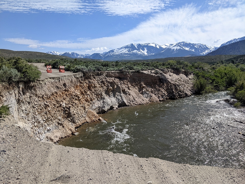
Since the spill began, the outflow from Grant has been more than 700 cfs. Below the confluences of Parker Creek and Walker Creek in an area known as the Rush Creek bottomlands, lower Rush Creek has experienced a peak flow of more than 800 cfs of water surging toward Mono Lake.
All this water in Rush Creek is a glimpse into the exciting future for the stream—once the new Grant outlet is built, 750 cfs below the dam will be required in Extreme-wet years like this one (this month’s peak fell just short of this flow below the dam). With high flows like these, floodplains get flooded, seeds and sediment get transported, woody debris gets moved around, bends are carved, sand bars are deposited, and channels shift position. All these restoration processes are happening now for Rush Creek.
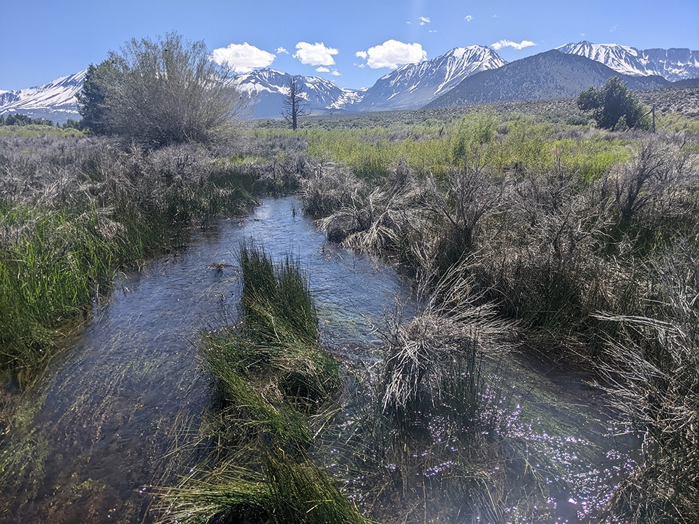
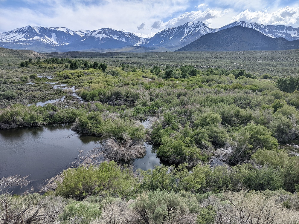
This year Grant is likely to keep spilling through the summer, and with the huge snowpack still melting from the high country, warm weather could still trigger a higher peak. After the water flows down Rush Creek, re-shaping the riparian ecosystem along the way, it ends up in Mono Lake, helping the lake to rise. What a season for Rush Creek and Mono Lake!
Top photo by Elin Ljung.