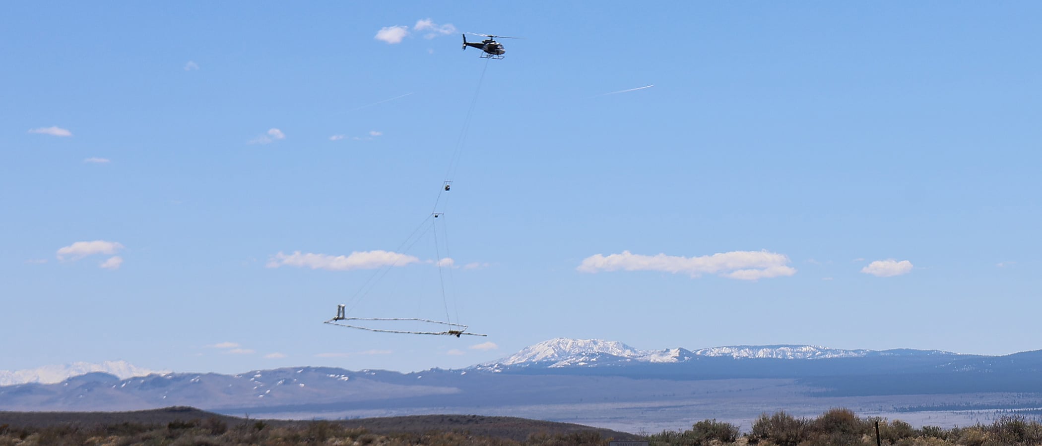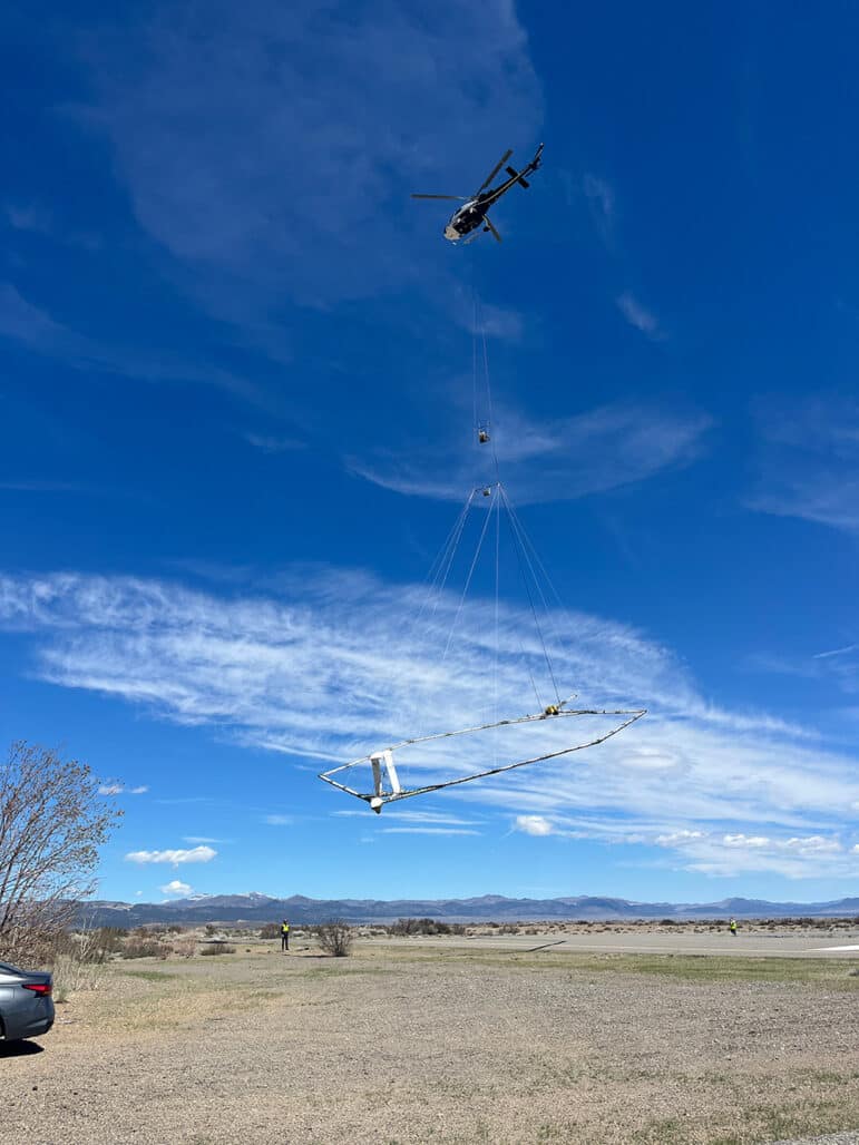
A series of unusual helicopter flights over the Mono Basin recently caught the attention of residents and visitors. Conducting many slow flight paths over multiple days in May and June, the low-flying helicopter sparked curiosity, and in some cases concern, as it towed a large hexagonal frame that was suspended about 100 feet above the ground.

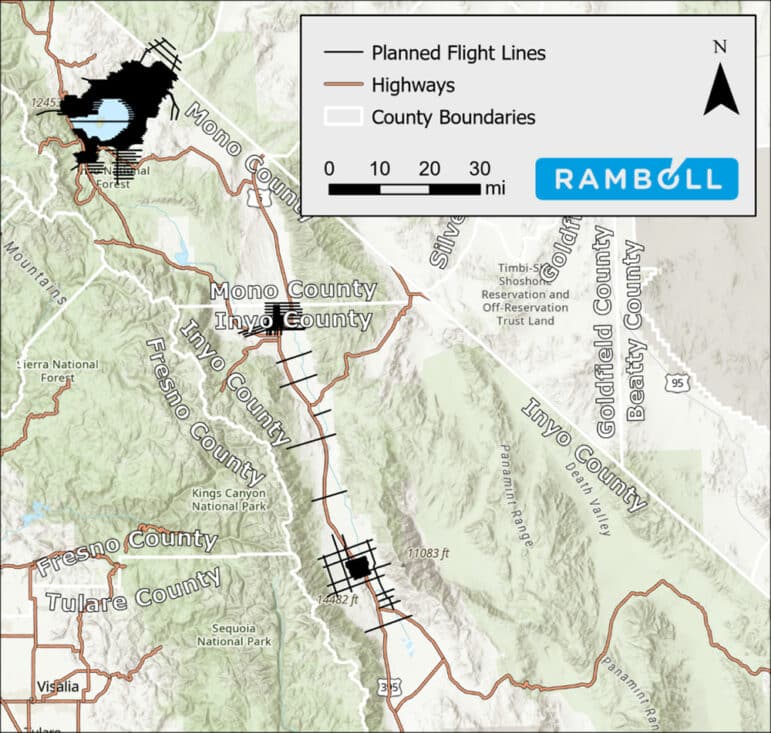
In an April 12, 2024, press release on its website, the Los Angeles Department of Water & Power (DWP) announced the planned flights over portions of Mono County, Inyo County, and Mineral County. In 2023, DWP entered a nearly one-million-dollar contract with Ramboll US Consulting, Inc. for the project to survey groundwater resources using the airborne electromagnetic method (AEM). The map provided on DWP’s website details the extensive flight paths around Mono Lake and across the Mono Basin, extending to the Nevada border and beyond.
Despite some outreach steps by DWP, the flights took many by surprise and elicited questions and concern given the unusually low altitude for the helicopter and the large object it carried. In response, the Mono Lake Committee fielded questions and quickly posted a flyer at the Mono Lake Information Center & Bookstore to provide further information.
According to Wiley Online Library, AEM has been in use for about three decades, primarily to prospect for minerals. More recently, AEM systems have been employed for other tasks, including groundwater modeling. In brief, the technology entails electronic equipment on the suspended frame transmitting signals to the ground and measuring the returned response—analogous to an MRI for the ground’s subsurface.
Water watchers may be aware of other AEM projects in California stemming from Proposition 68, the California Drought, Water, Parks, Climate, Coastal Protection, and Outdoor Access for All Fund. Under that funding umbrella, AEM surveys of high and medium priority groundwater basins support goals of the Sustainable Groundwater Management Act (SGMA). Data collected from this taxpayer research is publicly available at the California Department of Water Resources SGMA portal for use by local and state agencies and the public to assist management decisions.

The work contracted by DWP is also funded by DWP and is not part of the SGMA work. It is unclear if the data obtained will be similarly publicly available or how it will be used. DWP has said this much: “The AME [sic] survey will provide LADWP with valuable insights that will improve the hydrogeologic model of Mono Lake, which is vital for preparation for the State Water Resources Control Board hearing pertaining to LADWP’s water rights license.”
The Mono Lake Committee, also in preparation for the still unscheduled State Water Board hearing, is closely following DWP’s groundwater research and communicating to determine how DWP plans to use the information gathered. As we learn more, we will continue to update Committee members and the public.

Top and above photo by Geoff McQuilkin.
