This post was written by Ellie Neifeld, 2019 Mono Lake Intern.
Join us on August 7 at 4:00pm in the Mono Lake Committee gallery for Refreshments with Refreshing ‘Ologists. Greg Stock, Yosemite National Park geologist, will be here to discuss the extent of the Tioga Glaciation. If you can join us for this free event, please register here to guarantee your spot!

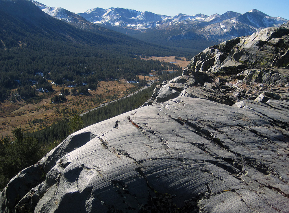
Much of the spectacular scenery of Yosemite and the Eastern Sierra is the result of erosion by glaciers. The most recent glacial period, known in the Sierra as the Tioga Glaciation, reached a maximum extent about 20,000 years ago, and left behind abundant evidence of its presence in the mountains, including glacial moraines, erratics, striations, polish, and sculpted bedrock.
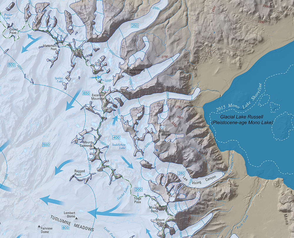
Many researchers, including some of the very first geologists to explore the Sierra, spent time mapping the extent of glaciers in the Sierra. Clyde Wahrhaftig, of the USGS and UC Berkeley, began mapping the extent of the Tioga glaciation in Yosemite in the 1950s, and worked diligently until his passing in 1994. Knowing that he wouldn’t finish the map to his demanding standards, Clyde left money in his will for another geologist to finish the map.
First-ever Yosemite National Park geologist Greg Stock took up the project in 2006, and spent an additional 14 years using new technologies to refine Clyde’s map, which has just been published by the USGS. Join Greg for a presentation about the last glaciation in Yosemite and the Mono Basin, how one maps the extent of past glaciers, and some stories about the wonderfully idiosyncratic Clyde Wahrhaftig.

