This post was written by Caroline Bottega, 2019 Mono Lake Intern.
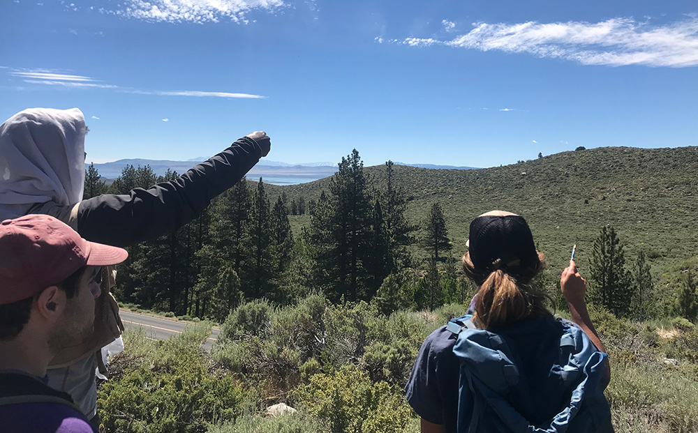
On a bright Sunday morning, perched atop an ancient glacial moraine in lower Lundy Canyon, I had the opportunity to see the Mono Lake landscape through a geologist’s eyes.

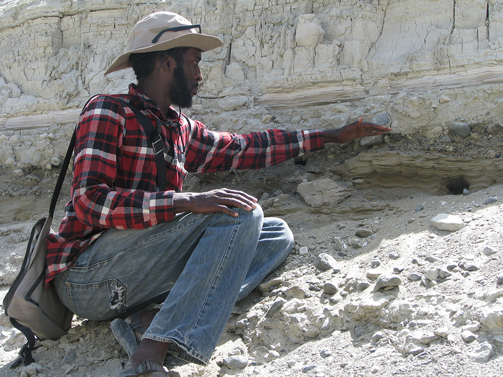
Armed with topographic maps, Guleed Ali, Research Fellow at the Earth Observatory of Singapore and friendly face around the field station, began to build the story of Mono Lake and its relationship to the glacier that once sculpted the canyon.
In true geologist fashion, Guleed began by carving a small scale model of the Lundy glacier into the dirt beneath our feet, recreating the classic lateral moraines of glacial material bulldozed by the slow, yet powerful mass of ice.
Our eyes then rose up to the landscape around us and, slowly, the foreign lines on our topographic maps began lifting into life. Fault scarps once undetectable to our fresh eyes popped into view and each subtle change in slope lent another piece to the puzzle. I was in awe of his ability to see the landscape in such an intimate way and, truthfully at first, intimidated to point out features that I began to notice myself. Immediately, my hesitations were put at ease. “Trust yourself and trust that what you are seeing is meaningful,” says Guleed. As much as skill and experience play a role in understanding a landscape, confidence is key in stepping into the unknown, geologic past.
Still in the midst of mapping the intricacies of the canyon, Guleed told us what he had learned from his research as well as what was still left to discover. With each step into un-mapped territory, you could sense his heightened awareness and consideration of the landscape and the endless questions and possible scenarios that flood into view.
Beneath each rock, ridge, and sagebrush, many geologic mysteries of the Mono Basin still lie hidden from view and understanding. But with a skilled eye, careful guidance, and quiet patience, slowly these hidden secrets of the geologic past become known.

