Remote mountain and desert travel conditions are highly variable and can change quickly.
We recommend checking weather and road conditions early and often. Here’s a snapshot of the current conditions in Lee Vining.
Lee Vining weather
Here are the current weather conditions in Lee Vining from the Mono Lake Committee’s weather station.

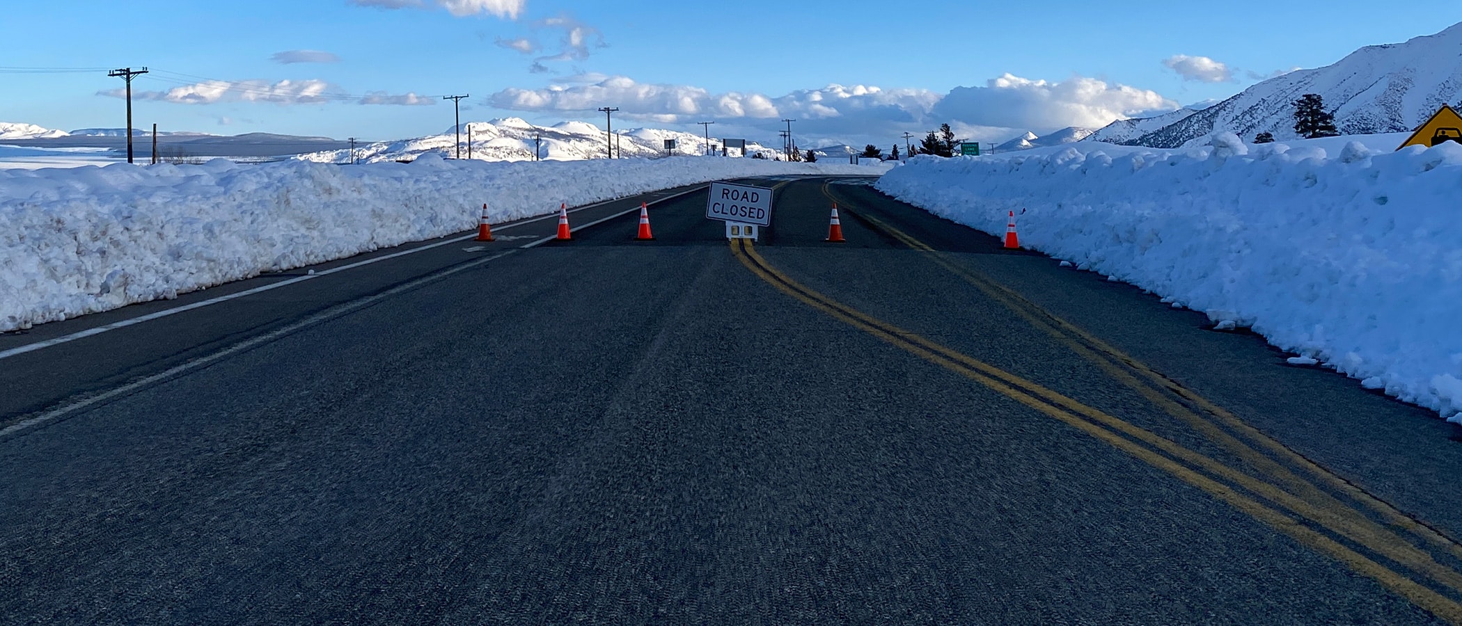
Road conditions
Road conditions can change quickly. Always check road conditions before you travel by visiting the Caltrans website or calling 1-800-GAS-ROAD.
Mountain pass roads
Mountain Pass Roads
This information was last updated on July 1, 2026. Please visit Caltrans for the most up-to-date conditions.
| ROAD | STATUS | COMMENTS |
| Tioga (120 W) |