
As early as late February, it seemed likely that this was going to be the driest year on record. Mono Basin snowpack was lower than any year but 1991, and that year had a “Miracle March” that was absent from the long-range forecasts. Sure enough, the dry pattern didn’t change, and March was very dry.
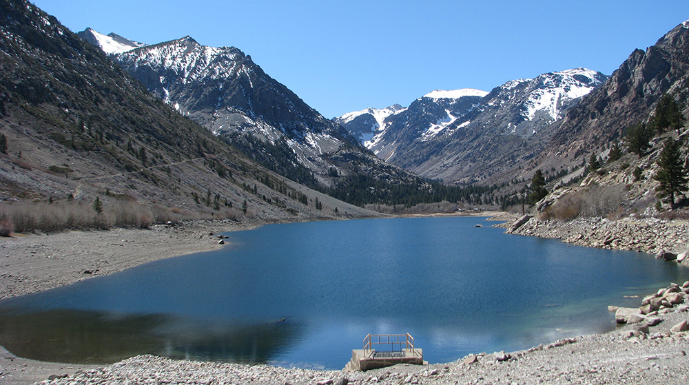
On Thursday I began checking the snow surveys web page for the April 1st snow survey results, which are conducted within a few days of April 1st. On Friday, results for one of the five Mono Basin “snow courses” appeared. And it was a shocking result: Tioga Pass snow water content is at only 6% of average.
I never imagined that it would be this bad. At 1.5 inches, that is 6 inches less water content than on March 1st. Snowpack typically peaks around April 1st, but this year with record warm March temperatures, it began melting earlier. In 1977, the driest year on record, Tioga Pass had a similar snowpack, but it held on until April. This year is much worse: it is 1977 with a warmer climate. This year could be a preview of what future dry spells in this century might be like, in which case we’d better start practicing our responses to climate change.
Looking around the state, the snowpack elsewhere is equally dismal, with the percent of average mostly in the single digits. My heart leaped when I saw the San Joaquin drainage was around 20% of average. That terribly low snowpack in any other year would be a disaster, but in 2015 it is the best in the state. Due to the high elevations in the San Joaquin drainage, it will be a refugia from the warmer temperatures and decreased snowpack of the twenty-first century, and make the San Joaquin River the best hope for Central Valley salmon.
The Mono Basin also has these high elevations, hopefully also insulating it somewhat from the snowpack-depleting effects of climate change. The San Joaquin River headwaters shares the same watershed divide as Rush Creek in the Mono Basin, and thanks to some of the same storms that dropped snow in the San Joaquin, snow water content at the automated snow sensor at Gem Pass above Rush Creek is around 36% of average. However, snow sensors need to be ground-truthed because they don’t always report accurately.
That’s why I kept heading to the snow surveys web page. Every time I checked it over the weekend, there were no new stations reporting. Also on Monday, no news. Was the Tioga Pass measurement an anomaly? Was the Gem Pass snow pillow more representative of the Mono Basin snowpack? The difference between 6% and 36% is enormous.
When I checked Tuesday morning, the web page wouldn’t load. This sometimes happens around the first of the month, when a lot of data is being transferred. So we continue to wait to see how bad the news will be. The implications for the Mono Basin streams are huge. As Stream Scientist Ross Taylor recently said, a “bad” year for fish is better than a “really bad” year for fish.