Mono Basin snow survey results
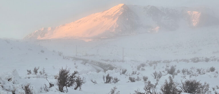
Winter started out wet, but January was dry. In Lee Vining, there were only 3.7 inches of new snow measured in January, and none fell since January 8. The Mono Basin was blanketed with snow and then covered in poconip…

Winter started out wet, but January was dry. In Lee Vining, there were only 3.7 inches of new snow measured in January, and none fell since January 8. The Mono Basin was blanketed with snow and then covered in poconip…
Rush Creek restoration continues to be delayed as construction of the long-awaited modification to Grant Lake Reservoir is complicated by the replacement of the 88-year-old broken rotovalve buried 80 feet below the edge of the reservoir within the aqueduct intake…
This winter season started with the driest autumn since 2013, with no measurable snow in Lee Vining as of the New Year. Then it snowed a little in January, but as of the end of January Lee Vining still only…
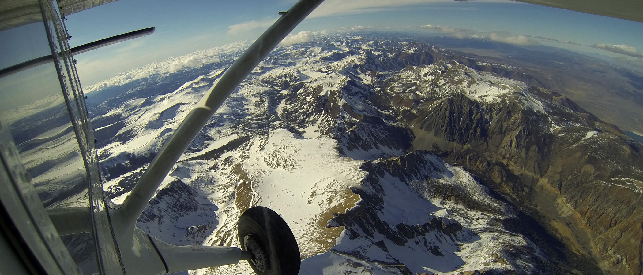
In the spring, the Mono Lake Committee helped Mono County secure emergency funding from the Governor’s Office of Emergency Services for Airborne Snow Observatories (ASO) LiDAR flights that gave us a crucial understanding of the record snowpack. ASO-derived data and…
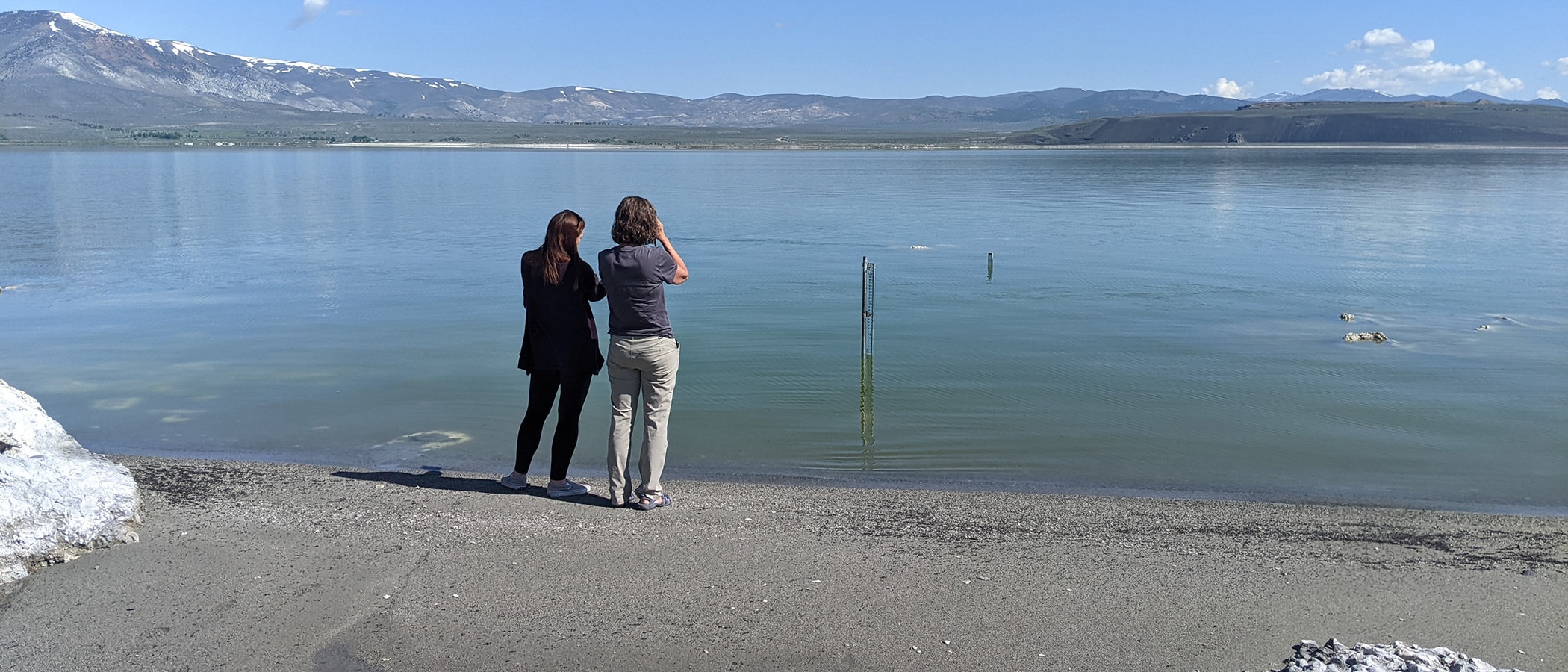
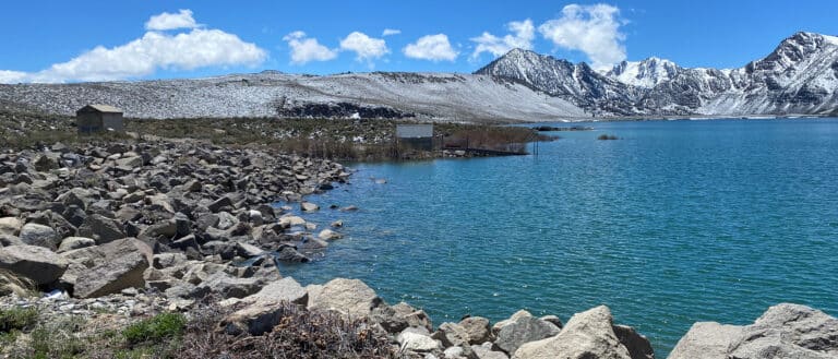
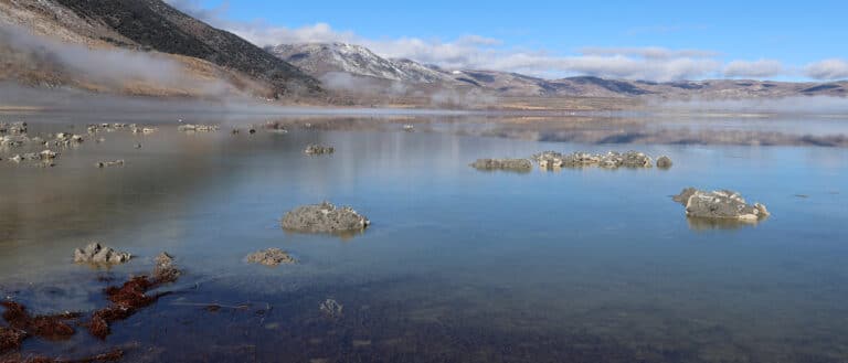
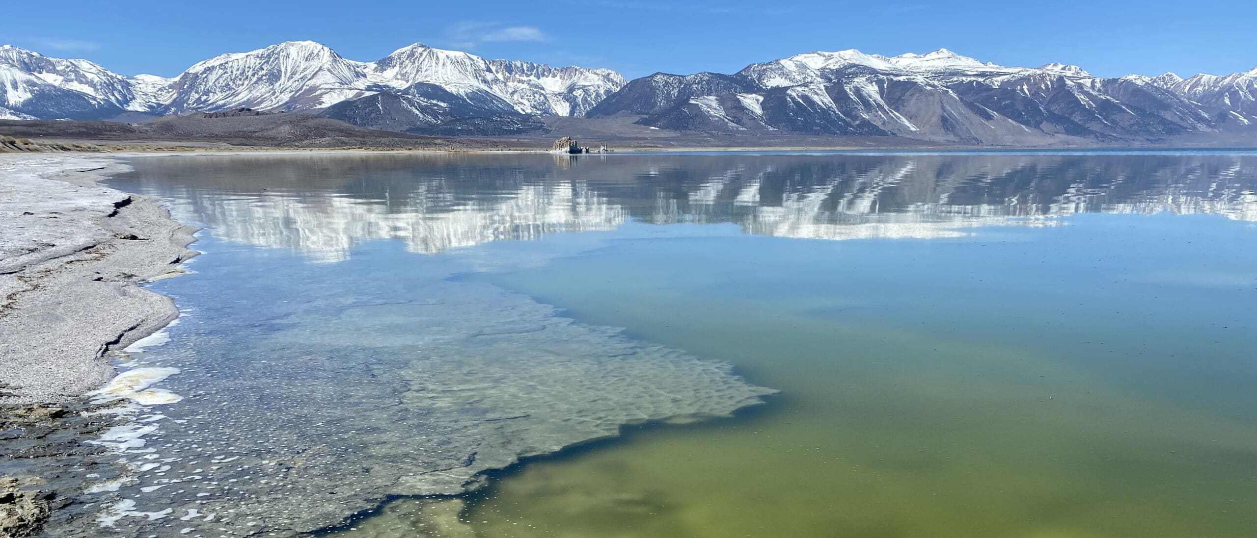
Lakewatch: Record rise for Mono Lake expected A lot of snow was melting around Mono Lake in April, but Mono Lake rose less than a tenth of a foot that month, to 6380.07 feet above sea level on May 1.…
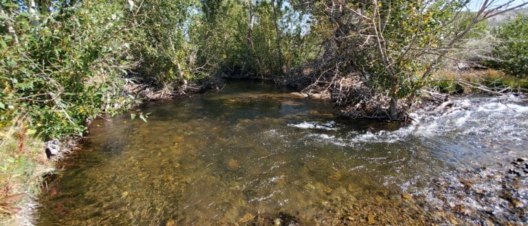
Streamwatch: Astonishing snowpack numbers portend record runoff A dry 2022 ended abruptly in November with a foot of snow. Despite the continuous precipitation all winter, consistently cold weather kept winter streamflows low. But with record snowpack, 2023 will bring record…
In the Mono Basin, the 2022–2023 season made snowfall history in January—and February—and is poised to set new records again as March snowstorms pile more snow on top of an already-record snowpack. Highway 395 has been closed due to several…
During the 2021 runoff year (April 1, 2021–March 31, 2022), the Los Angeles Department of Water & Power (DWP) was allowed to export up to 16,000 acre-feet of stream diversions from the Mono Basin because Mono Lake was above 6380…
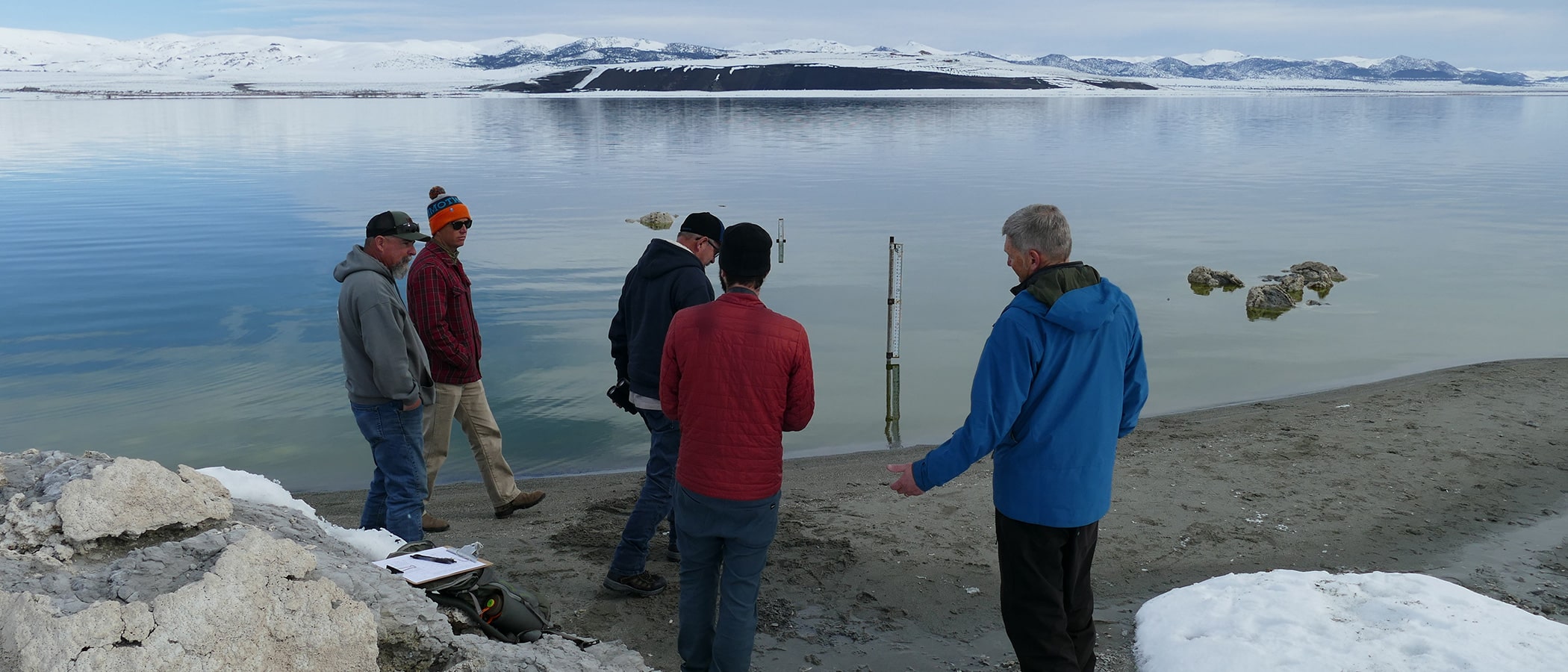
Each spring the Mono Lake Committee’s team of modelers and Mono Basin hydrology experts uses the lake level on April 1 together with the Mono Basin snowpack numbers and similar-year and other relevant hydrological statistical data to produce the Mono…
After driving all day, I arrived at the Pumice Palace in Lee Vining just after sunset, and no one was home … in June 1995 … and in September 2021. In 1995, I was starting my summer internship with the…