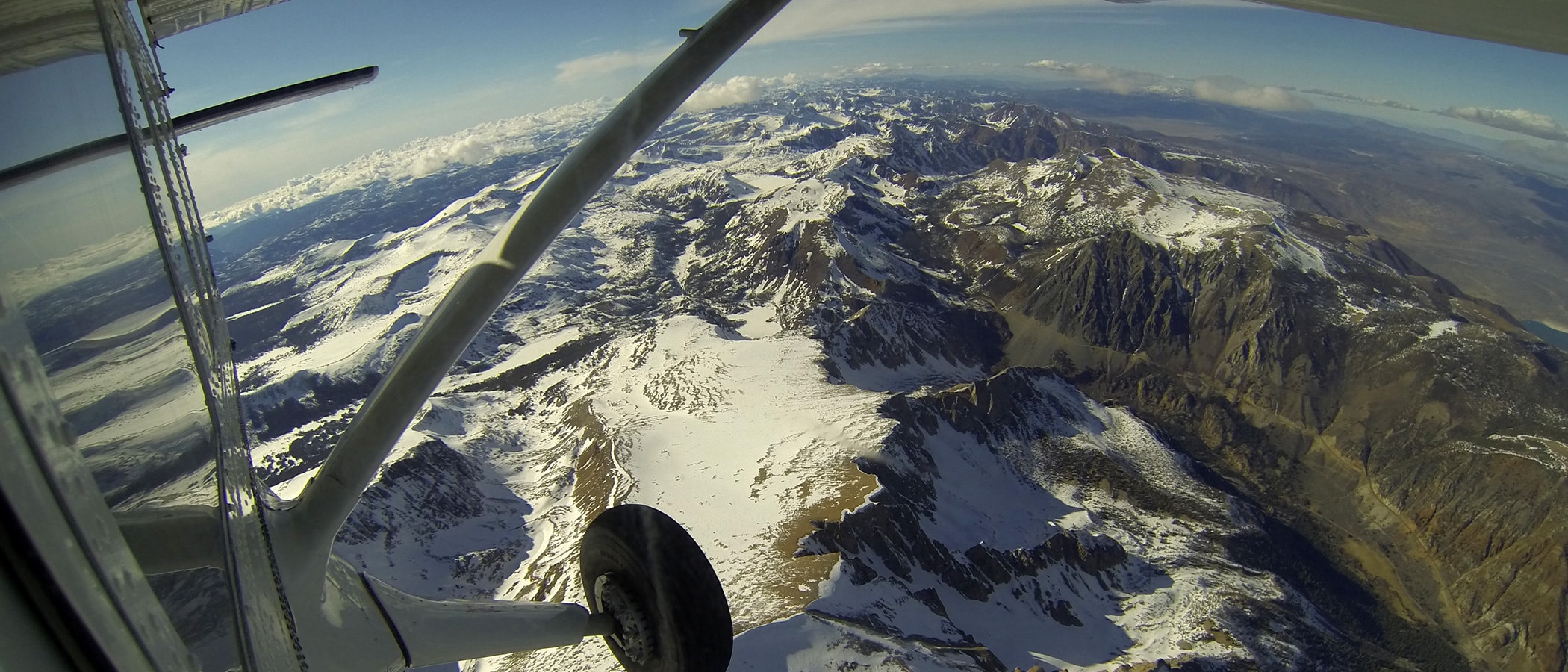
In the spring, the Mono Lake Committee helped Mono County secure emergency funding from the Governor’s Office of Emergency Services for Airborne Snow Observatories (ASO) LiDAR flights that gave us a crucial understanding of the record snowpack. ASO-derived data and model output is the new standard for snowpack assessment and watershed modeling because it provides highly accurate snowpack data for most of the watersheds forecasted by the California Department of Water Resources.
ASO surveyed Mono County’s snowpack on May 27, June 15, and July 2. The results provided an important check on ground-based snowpack measurements, some of which were higher than what ASO indicated. Based on traditional forecasting methods, the Los Angeles Department of Water & Power had forecasted that Rush Creek runoff would be 270% of average April–September, but thanks to the May 27 ASO flight, the Committee was able to revise our expectation more accurately to 224%, which turned out to be more in line with 2017’s record 211%. This type of information is important for accurate runoff forecasting and stream restoration every year, not just during a state of emergency, but it is not yet routinely available for the Mono Basin.
The state is the primary funder of ASO flights for California’s snowmelt runoff watersheds. Local water agencies also provide funding for ASO, while the Bureau of Reclamation also funds ASO flights in the Central Valley and Truckee-Carson River watersheds. Getting non-emergency funding for Mono Basin flights has not yet been successful; however, the Committee will continue to advocate for this important data collection.
This post was also published as an article in the Fall 2023 Mono Lake Newsletter. Top photo by Tom Painter, NASA/JPL-Caltech.