
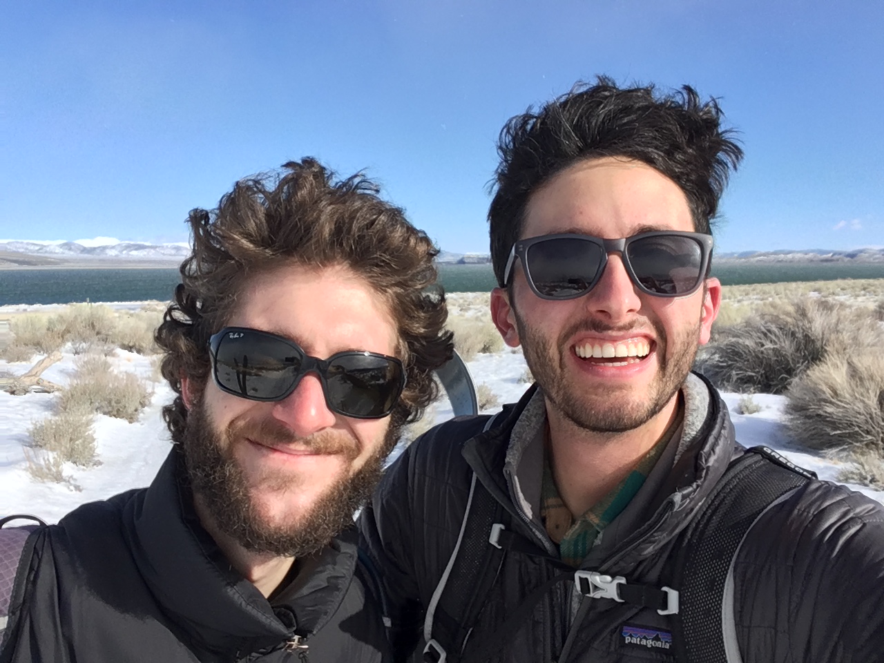
This January is proving to be the wettest January in our weather recording history. In Lee Vining, we saw 5.5 inches of snow on January 4, and we received a combined 3.92 inches of rain on January 8 and 9. With all this water pouring into Mono Lake, I set out with my coworker Andrew to measure the lake level on cross country skis.
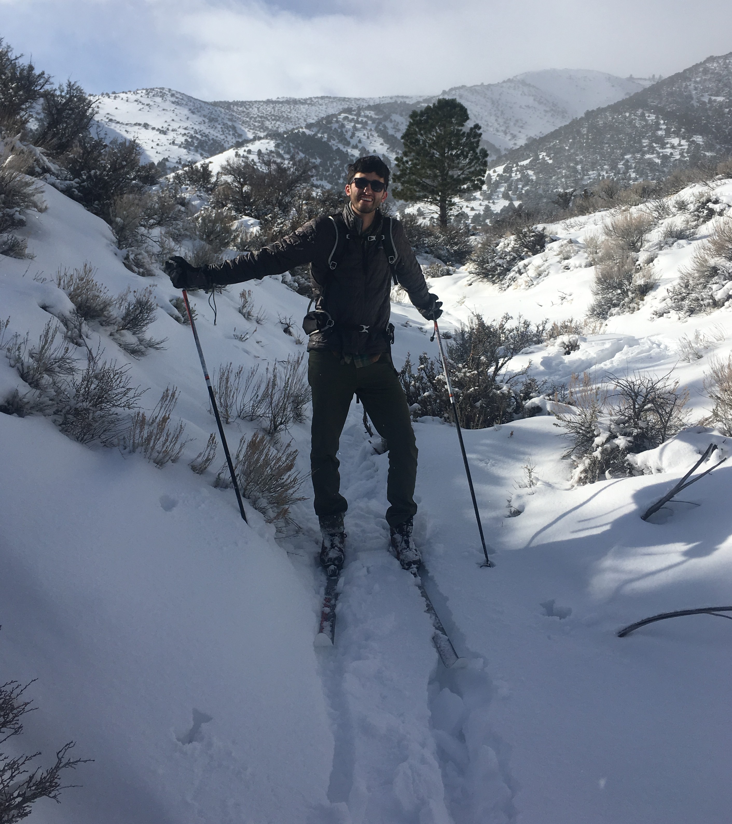
It was Wednesday, January 11 at 10:00am. The sky was blue, the wind was calm, and the day before had enveloped the basin in new snow. To get to the lake, we decided to take the most direct path, which meant cutting behind the Mono Basin National Forest Scenic Area Visitor Center and descending into the canyon through which Lee Vining Creek flows. During our descent we flushed a couple of black-tailed jackrabbits from their brushy hideouts and we were chased by Spotted Towhees, waving us along with their dipping tail feathers. With some meandering between tufts of sagebrush and a final glide along some frozen tire tracks, we made it to the lake level gauge.
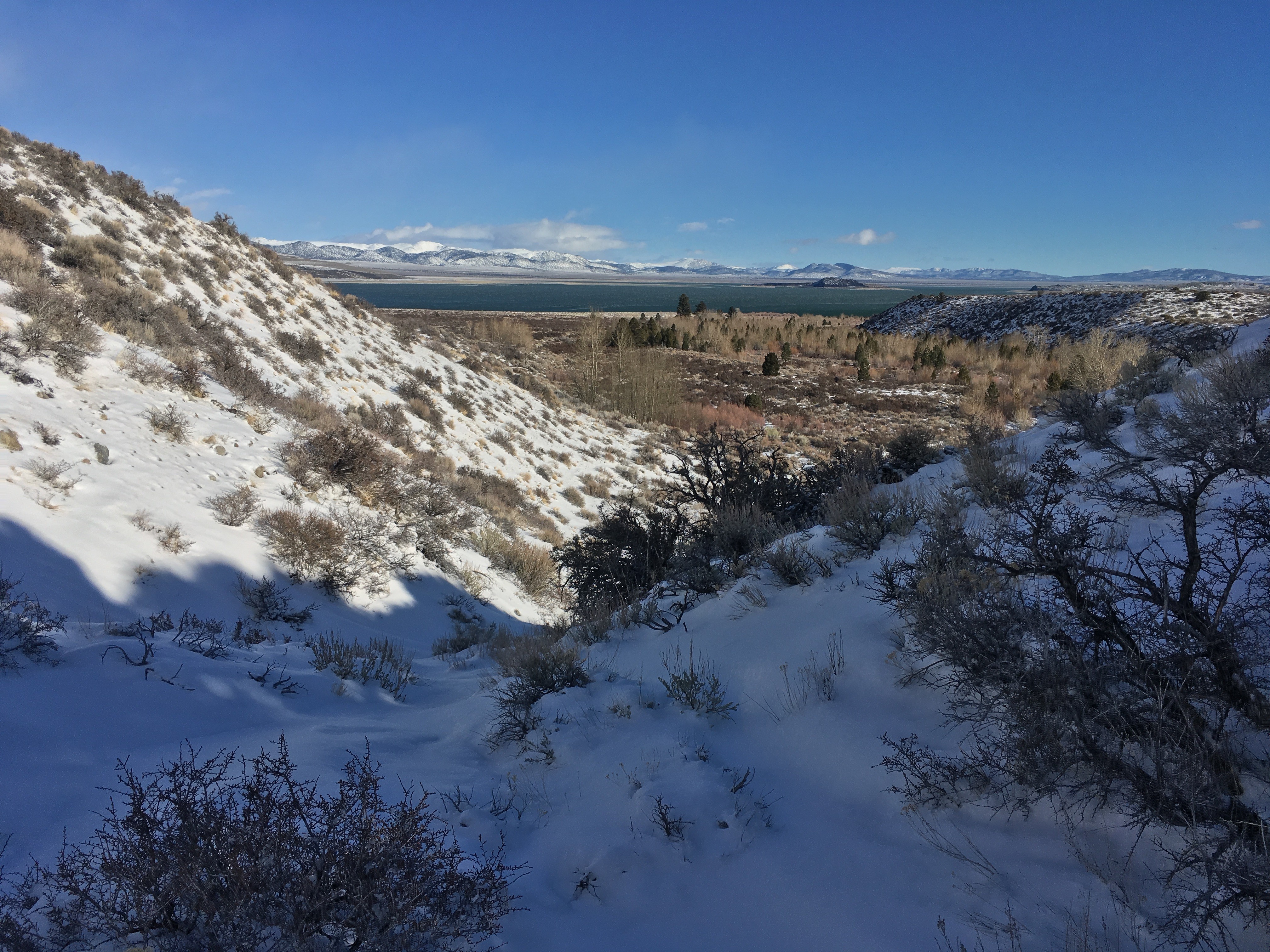
The change in the lake level was apparent even before we conducted the reading. On December 31 when I had last read the lake level there was a dry sandy land bridge that formed a walkway to some volcanic rock coated in tufa. When we arrived at the lake on January 11, the land bridge was submerged in a couple of inches of water.
Our reading showed that the lake had risen by about 4 inches since December 31, which in terms of water volume is an increase of over 10,000 acre-feet of water. That’s 10,000 football fields each with a foot of standing water!

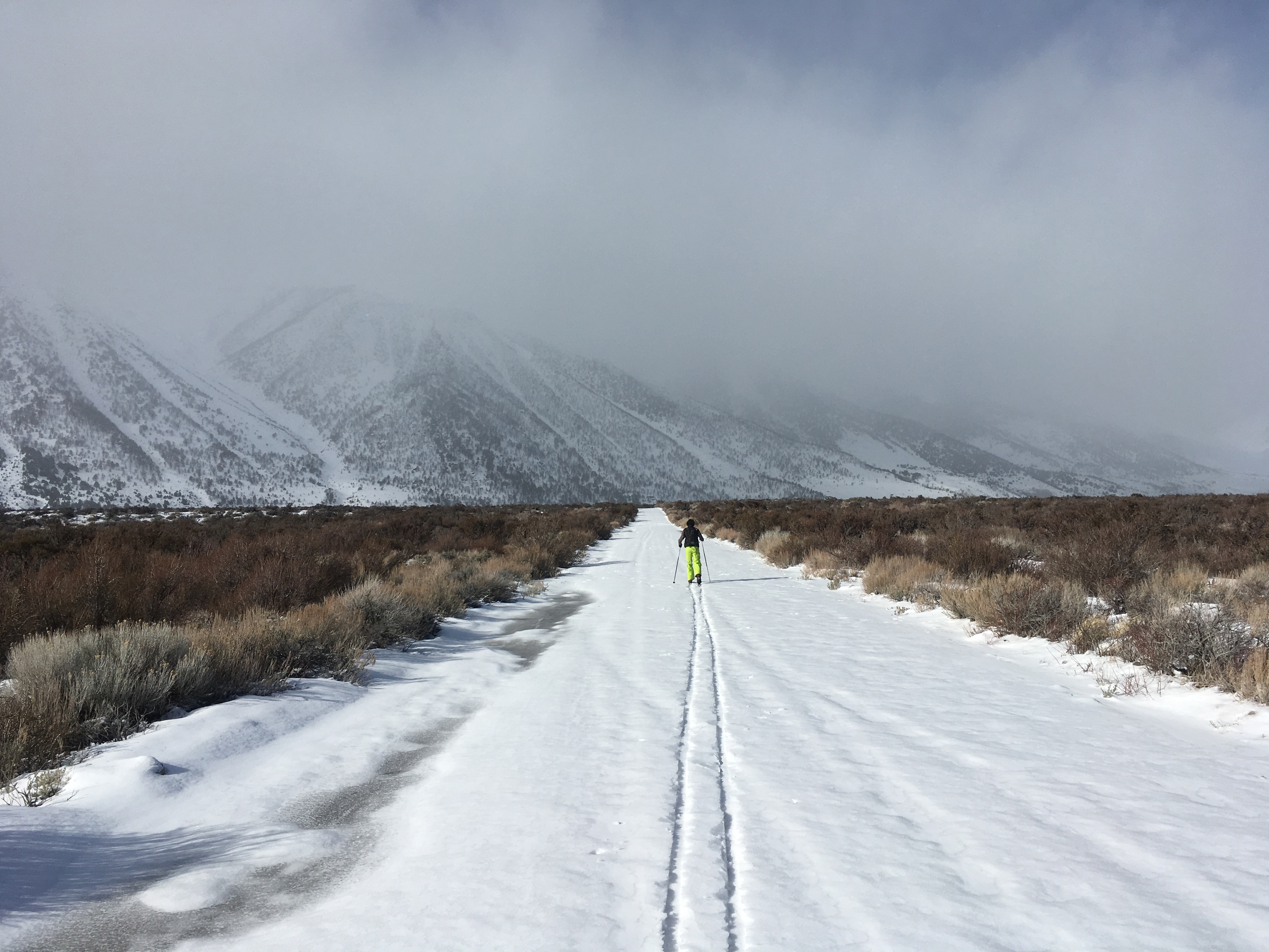
With some good news in hand, Andrew and I began the return trip. At this point a storm had begun to roll in and a biting headwind began to howl. With the rapidly changing weather conditions we opted to take the county road back to Highway 395 and we arranged for a pickup at Old Marina. Exhausted and exhilarated, sweating and freezing, we cursed the wind with big smiles on our faces as we trudged along the icy dirt road.
Awesome!
Wonderful story, and wonderful news about the level of the lake.
Peter
Nice photos, especially “descending toward Lee Vining Creek.” Viewed at full screen +. Window to Mono Lake and beyond.
don’t you have warm beanies? Great adventure.
Love, sally
Well done gentlemen! For a “litmus test” of how incredibly raw conditions can get, (not to trivialize your accomplishment), read the history(s) of Bodie and the mail carriers who traveled on wooden skis between Bodie and Lundy town back in the late 1800’s. How they did that I’ll never know!!
Wish I could be there! Thanks for braving the cold to continue the monitoring work. I have to wait until Tioga Pass opens to visit….I’ll be there day 1.
I have followed & mentally monitored the conditions at the Lake since 1986, when I started donating to the Save Mono Lake Committee. For many years while living in LA, I watched many extreme dry & wet seasons come and go in California, I knew there EVENTUALLY had to be a record season to make up losses: here it is!!! Too bad Owens Lake will never happen again: at least we saved Mono for the BIRDS and other critters that live there.