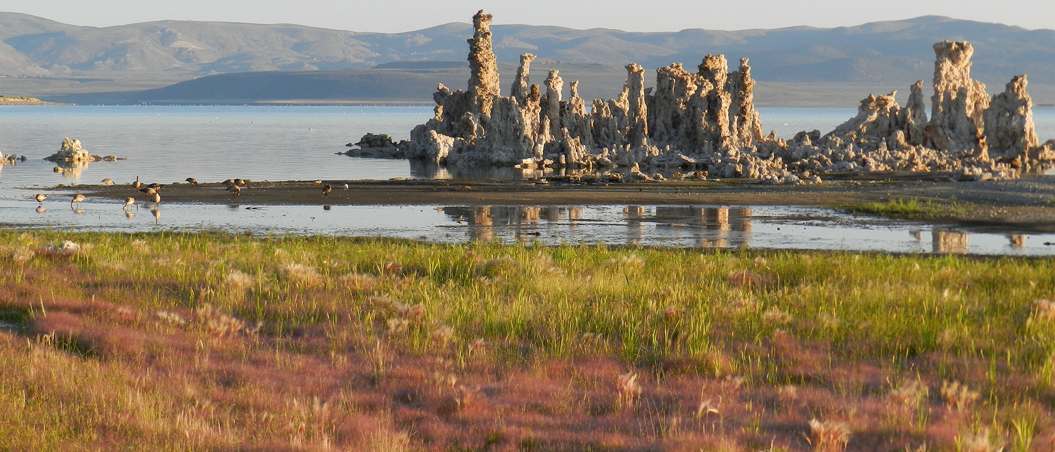
Snow storms during the first two weeks of February have caused Mono Lake to finally rise–an event that almost always occurs before the end of January. Yesterday evening as the light faded on the wind-ruffled waters of Mono Lake surrounded by a blanket of white snow and the grey-hued clearing storm clouds, I read the lake level gauge: 6382.28 feet above sea level.
Mono Lake had been at this level for about a week, but when I last read the level it was after a wind storm and the lake was seiching–slowly sloshing back and forth–causing my reading to be inexact. Prior to a week ago, the last reading I had was from January 29th, at 6382.11 (also inexact due to ice around the gauge, but probably pretty close). This rise of about two tenths of a foot in two weeks is thanks to the cold and stormy weather that we finally started getting at the end of the first week of February.
That new snow has brought great skiing to low elevations and lots of water content to the high elevation snowpack–76% of average at the Gem Pass snow pillow in the Rush Creek drainage–almost doubling the 10.7 inches of water that was sitting on the pillow in mid-January (a snow pillow is a device that measures the weight of the snow sitting on it). While no snow surveys were conducted in the Rush Creek drainage, February 1st snow surveys at the headwaters of Lee Vining Creek revealed 78% of average snowpack for February 1st–the highest in the state. Doubling the water content here brings the Lee Vining Creek drainage up to almost average for April 1st!
In Lee Vining, we measured 2.23 inches of water content in 22.5 inches of snow so far in February–above average (17″) snowfall but below average (2.6″) water content, indicating colder than average storms. Long-range predictions for more storms next week mean that February will likely turn out to be average. So far this season only November has had average precipitation here in town.
Unrelated to all this weather activity is that Grant Lake Reservoir bottomed-out at 6148 acre-feet of storage on February 12th–the lowest level since 1960. It started rising since then because Southern California Edison (SCE) finally started emptying Gem Lake Reservoir upstream–something it usually does in the fall, but it was delayed this year due to installation of a new data communications system. Right now about 115 cubic feet per second of water is flowing into Grant Lake Reservoir–a very unnaturally high amount for this time of year, and when combined with fairly low spring-summer flows, this will give this part of Rush Creek an almost backwards hydrograph for the year. This high flow will continue until Gem Lake Reservoir is almost empty in April. Since Los Angeles has rights to the water SCE is storing, SCE fills its reservoirs every spring and must bring them to within 5% of empty by the next spring. All this water coming in will cause Grant Lake Reservoir levels to rebound greatly in the next two months–but it will still be very low.
