
This post was written by Angie Glaser, 2012 Project Specialist.
Visitors to the Mono Basin and Long Valley area in the next two weeks can expect to see golden aspen trees, snow dusted peaks, and something quite unusual—a lone helicopter flying only 500 feet from the ground.
The helicopter marks an exciting new development in an ongoing project by the US Geological Survey (USGS) to monitor volcanic activity in the Eastern Sierra.
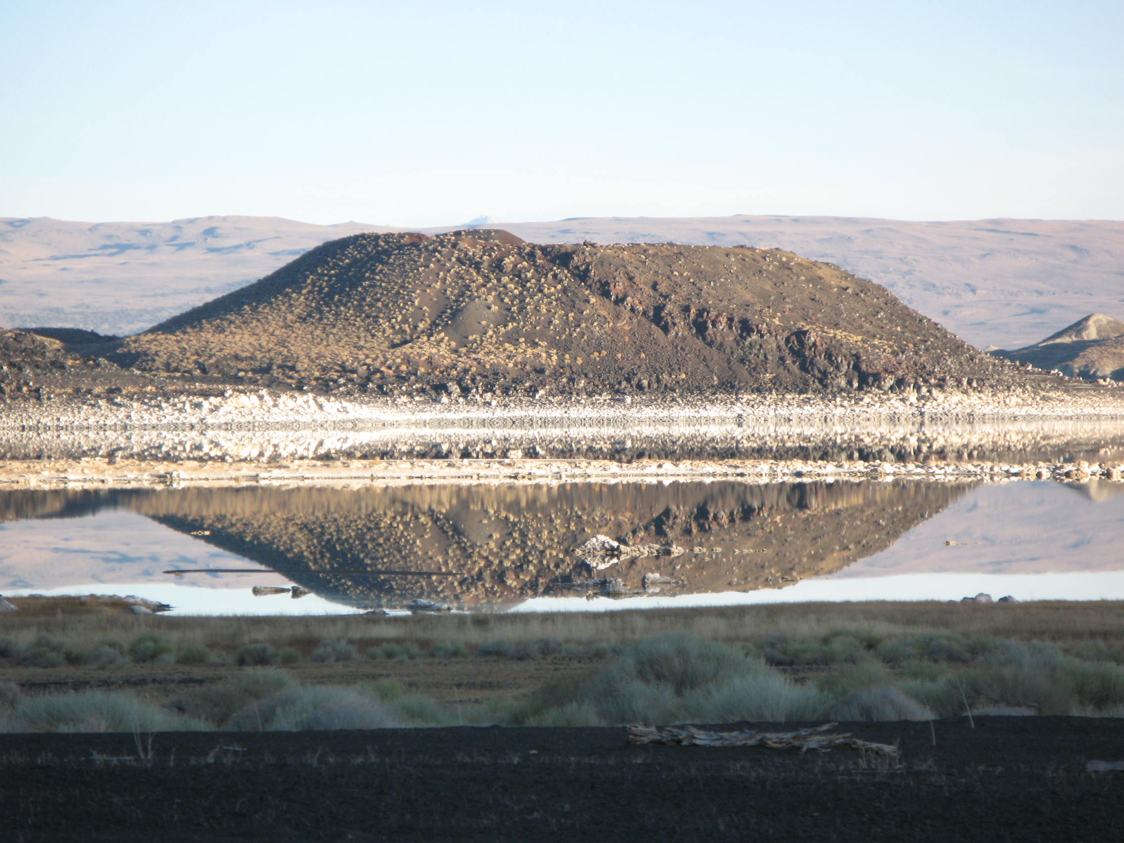
Mono County is home to four volcanic areas—the Mono Lake Volcanic Field (featuring Black Point), the Mono-Inyo Craters, the Long Valley Caldera, and Mammoth Mountain. This latest project by USGS is the first of its kind in the Eastern Sierra and will provide volcanologists will a three-dimensional map of underground geologic structures, including faults and magma intrusions, that will improve assessment of volcanic and earthquake risks. Upon completion, the map will be available to the public online at the California Volcano Observatory website.
Data for the map will be gathered aerially by a magnetometer, an instrument used to measure magnetic fields, attached to a low-flying helicopter. The magnetometer can detect slight changes in the magnetic field caused by the iron mineral content of rocks. Because different rocks have different levels of iron, aerial magnetometers can detect the movement of rock along faults and can map out subsurface geological structures. According to USGS Director Marcia McNutt in a recent press release, “Volcanic rocks are rich in iron-bearing minerals whose magnetic signatures can be detected at aircraft altitudes in an efficient manner. The amount and direction of motion along faults may be revealed by dislocations of magnetic signatures across linear features, even if buried beneath soils and streams.”
The USGS aeromagnetic mapping survey is the newest chapter in a long, rich history of scientific research and education in the Mono Basin. Whether you’re interested in studying California Gulls, testing equipment to be sent to Mars, or simply pondering tufa groves on the shore of Mono Lake, the Mono Basin provides mystery and invites exploration for scientists and visitors alike.
To read the full USGS press release, or to learn more about volcanism in California, visit the California Volcano Observatory.