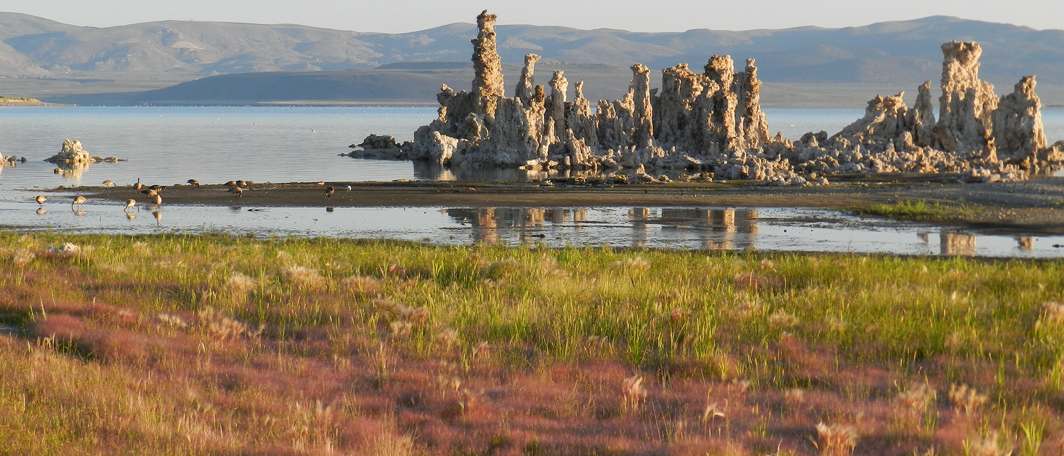
I just got back from reading the lake level gauge at Old Marina, and Mono Lake has started rising! It reached its low point for the year around November 1st, at 6382.10 feet above sea level. Since then it has risen 0.04 feet to 6382.14 feet above sea level.
Lee Vining received slightly above median (but below average) precipitation in October. So far for November, we’ve received over an inch of precipitation! November average precipitation is 1.24″, about double the 0.63″ median (wet Novembers skew the average upward). For those of you rusty on these terms, the median is the November that is in the middle if you ranked all of them highest to lowest. It occurs more commonly than the average (at least as far as California climate is concerned).
This is the most November precip since 2005!
As of Friday, Grant Lake Reservoir was about 700 acre-feet above the minimum management level of 11,500 acre-feet of storage–and dropping. It will probably drop below this level in about a week or two, depending on a lot of things (inflow, outflow, and the weather). It has not reached this level since it was set by the Water Board in 1994.
Why call it a “minimum” when it will drop below that level? Below that level, the lower Rush Creek minimum flow equals inflow or the dry-year minimum flow. So it is a minimum below which Rush Creek’s flows get really cut back to whatever is coming into the reservoir without regards to usual minimum flow requirements. Right now that flow is 20 cubic feet per second (cfs) and the dry year minimum is 36 cfs.
If you’re into this stuff, you can track the Mono Basin’s hydrology yourself too!

Today Grant Lake Reservoir dropped below 11,500 acre-feet of storage. Inflow is 24 cfs and release to lower Rush Creek is 26 cfs. This is the lowest flow since the August flow study. It is within the range of natural variability.
During the flow study, many side channels that had water in them at 30 cfs were dry at 15 cfs. So there are important thresholds for the creek between 15 cfs and 30 cfs and as long as inflow is in this range, certain parts of the creek will be experiencing major changes.
Some of these side channels are intended to be waterfowl habitat and that habitat won’t always be present or of high quality at this flow range. This is not necessarily unnatural, or anything that we know would set back restoration. But it is notable and important information.